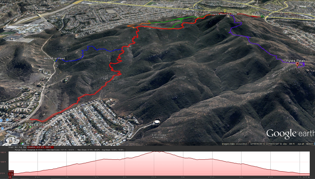
Distance: 5.2 miles. Elevation Gain: 1400 feet . Time to complete: 1.5-2 hours.
Getting There: From Mission Gorge Road on Santee’s west side, turn south on Mesa Road. Drive 0.4 miles to Big Rock Park and park your car along the road near the Big Rock Trail Head.
Bathroom Facilities: There is a public restroom located at the Big Rock Park right next to the trail head.
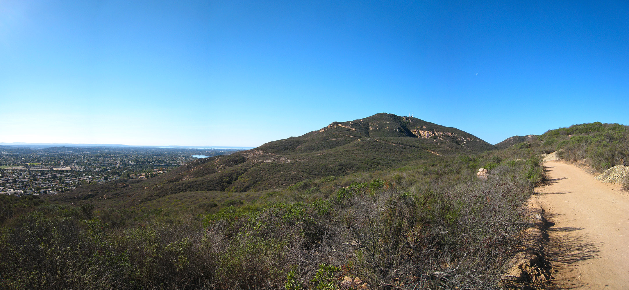
This was a pleasant hike, a nice change from the front side trails for Cowles Mountain Peak. I find those trails to be heavily traveled, especially during the weekends. Getting to the trail head is easy. Once there start on the trail to your right, although it doesn’t really matter because the left one meets back up with the main trail. You will head past the park and some housing, down across a little creek or drainage bed and up towards the hills. This trail does seem to be popular with mountain bikers so keep an eye and ear open for them as you go up the trail. This trail is a nice change compared to the front trails, not only is it less traveled but you spend a lot of time in the shade during the first mile or so as you go up trail. You may see some side trails split off from the main trail your on but don’t worry just stay on the main trail and you won’t have any problems. Before you get to the trail junction with the service road you will also have a junction the trail from Mesa Road. When you get to the main junction with the service road just head right up towards the peak. The service road is pretty easy until you get to the hill and then it can become quite steep and slippery ( loose gravel). Take some time to look back and enjoy the views from where you came. There are some great views all the way up of Mt Woodson, Iron Mountain, and El Cajon Mountain, three of my favorite trails. Along the way to the top you will also see some trails that split off for Barker Way and towards the very top you will see a connection to the main front side trail. Once at the top take in the views and look at the sign in order to figure out what mountain tops your looking at. You should also get some great views of downtown San Diego, Coronado, the Coronado Islands, and Point Loma to the west. If you haven’t had enough and want to go a little further you can also hit the trial head for Pikes Peak trail just under the Cowles Mountain Peak. Just head along the service road to the front and you should see the sign for the trail head.
Weather forecast for the Cowles Mountain Hike:


