
Cedar Creek Falls Hike Via the Ramona Trail
Distance: 5.2miles round trip, about 8.5 miles if you also hike to the top of the falls. Elevation Gain: 1200 feet. Time to complete: 1.5 – 3 hours
Bathroom facilities: at the top of the Ramona Trailhead
Heat – is always a consideration when doing this hike. People tend to forget just how much of a difference in heat and humidity there can be between the coast and this area. There is also no shade on the hardest part of the hike, going back up the mountain after you have had a pleasant time going down into valley. Please try to start your hikes early or later in the day especially during the summer. Bring plenty of water, at least 2-3 liters per person as well as water for your dog if you happen to bring them which is not recommended during afternoon or summer months. Most of the fatalities on this hike have been due to heat, keep that in mind when planning your hike here. Also consider the one thing your going there more then likely to see, the falls are not going to be that great to see in the summer months because there just wont be that much water. It is better to see the falls after a good rain storm or in the spring time when there is a more abundant supply of water.
To Get there: You can get to the Eagle Peak Road trailhead by Driving along Highway 78, 1 mile west of Julian turn south onto Pine Hills Road. Follow Pine Hills Road for 1.5 miles, bear right onto Eagle Peak Road. Follow Eagle Peak Road for 9.4 miles of progressively poorer dirt road until you come to the Cedar Creek Falls Trail Head.
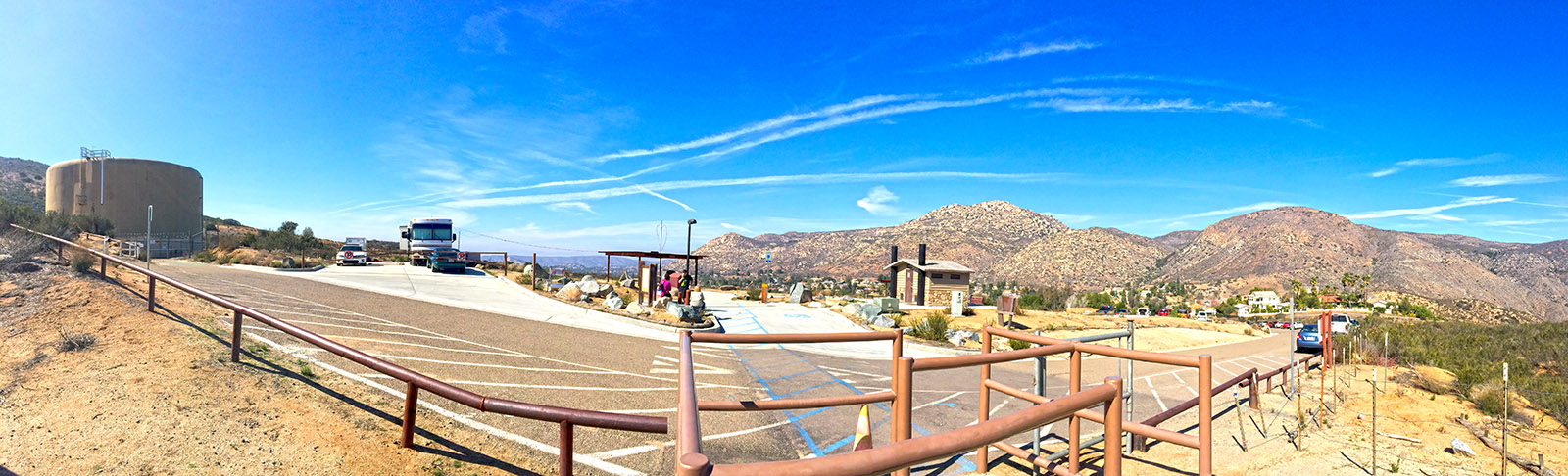
The Cedar Creek Falls Trailhead near Ramona
The other trailhead comes from the Romona Side, I find this to be a much better trailhead and would recommend this one over the Eagle Peak Trailhead. To get to this trailhead, take Highway 67 into Ramona and take a right on Dye road, following Dye road for 1.8 miles until it takes a left and becomes Ramona St for 0.4 miles and then turns right becoming Warnock Dr. for another 0.8 miles. Turn right onto San Vicente Road and follow it for about 4.8 miles and then turn left onto Ramona Oaks Road and follow it for anther 2.9 miles until you finally turn right onto Thornbush Road and follow that for 0.3 miles to the trail head. Another way is to take Wildcat Canyon Road from hwy 67 in Lakeside until it runs into San Vicente Road and follow it to the trailhead, I came back this way for a change of scenery and pass by one of my other favorite butt kickers El Cajon Mountain.
Here’s one of San Diego County’s hidden treasures, tucked back in a tributary of the upper San Diego River, accessible these days only by non mechanized means of travel. Before the construction of El Cajon Dam in the early 1930’s, the falls were a popular destination for Sunday outings, and could be reached relatively easily on an auto road up the San Diego River valley from Lakeside.
The U.S. Forest Service closed the trail in summer 2011 because of overuse. Always a popular trail in the Cleveland National Forest, the route became overrun in 2010 and 2011, fueled by social media.
The falls and the pool beneath them became a central gathering place, where at times hundreds of teenagers and young adults, many drinking alcohol, would congregate and jump from the cliffs into the water.
Residents of the San Diego Country Estates south of Ramona near the trailhead complained that their Thornbush Road neighborhood would be inundated some days by visitors who blocked driveways, urinated on their lawns, drank from their water hoses and littered. In response to the complaints and safety concerns, the forest service closed the route until potential solutions to the problems could be found
The trail to the waterfall reopened in April 2013 after being closed for more than a year and a half, but hikers will have to follow a number of new rules:
The U.S Forest Service reopened the trail under new rules designed to limit the crowds and prevent injuries. Visitors are now required to get a $6 permit before hiking to the falls. They can get permits at www.recreation.gov. Only 75 permits a day will be issued. Each permit allows a maximum of 5 people per permit. All participants must be listed on the permit, but you can always write in the other 4 after you get the permit.
Other rules include:
- No alcohol allowed,
- No jumping or diving from the rocks surround the pool,
- No motorized vehicles on the trail,
- Cars blocking roadway or driveways near the trailhead will be towed at owner’s expense.
Swimming is allowed at the falls. Horses and bicycles are allowed on the trail from Thornbush Road.
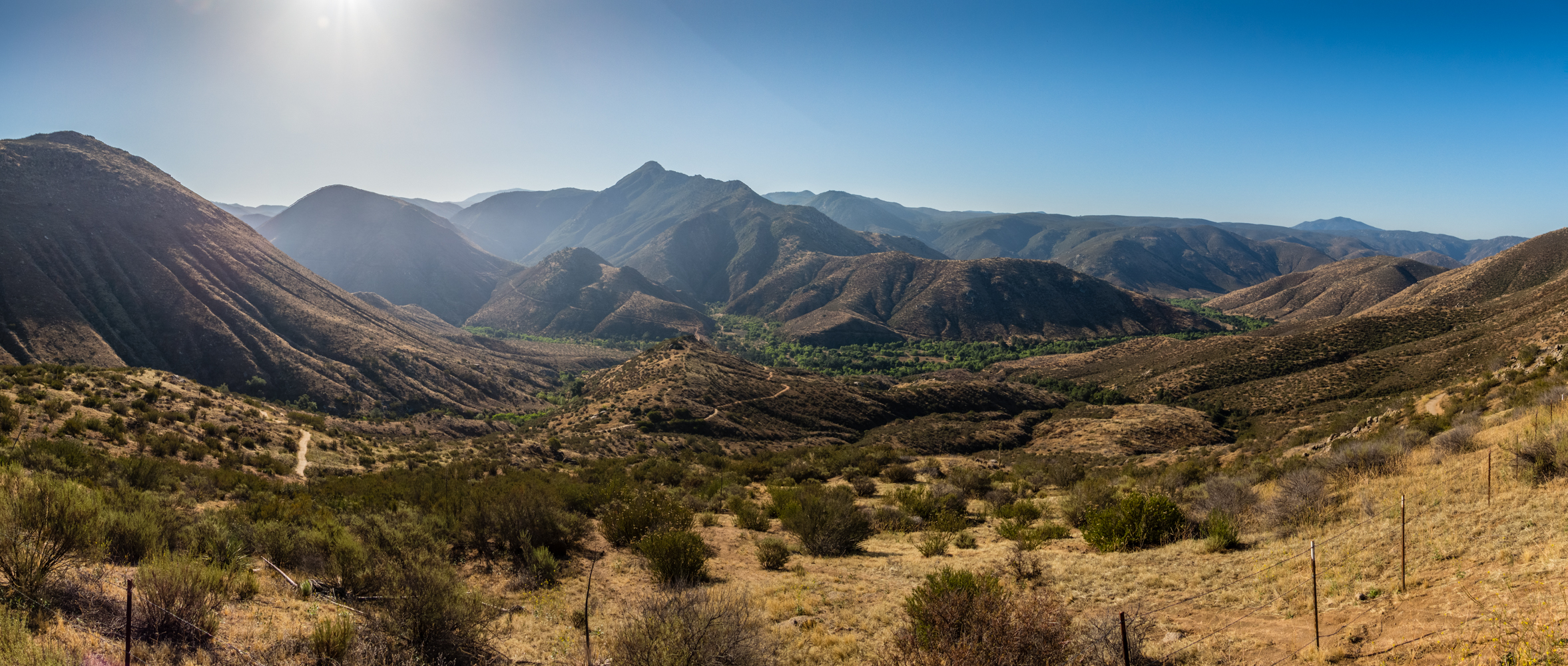
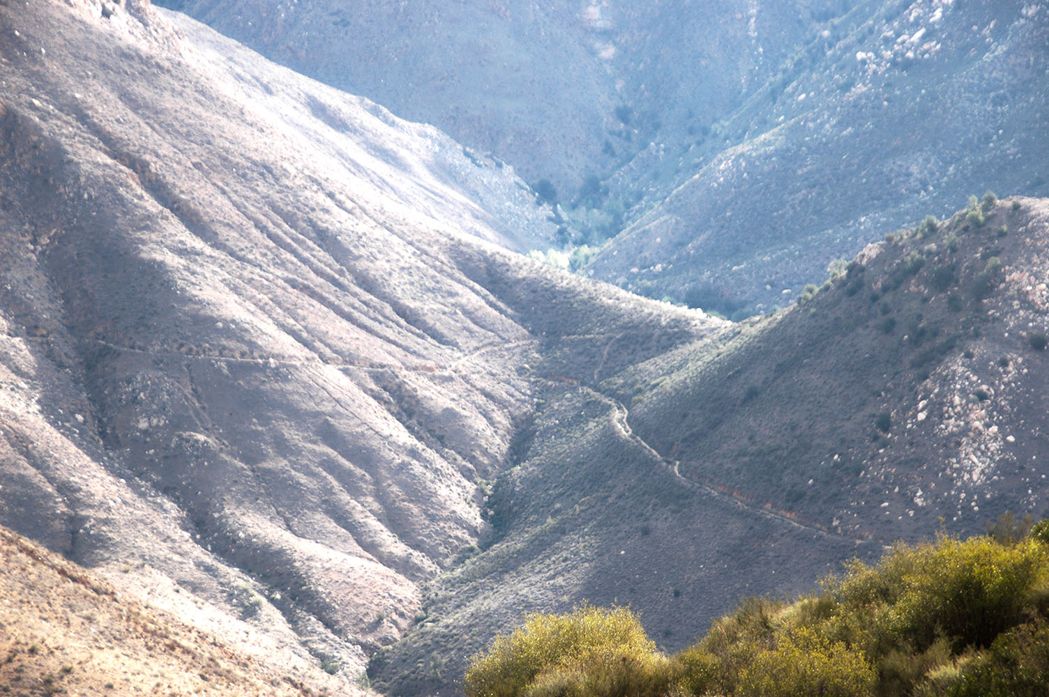
Looking down the valley at the trail towards the falls
This was the first time that I have been on the trail from Ramona, the last time I did this trail ( 14 years ago) the only official trail was from Julian and if you wanted to go to the bottom of the falls which was on private land you were officially trespassing, my how times have changed. The trail coming down from Ramona is really well maintained and well marked, there are mileage markers every quarter of a mile on the way to the falls.
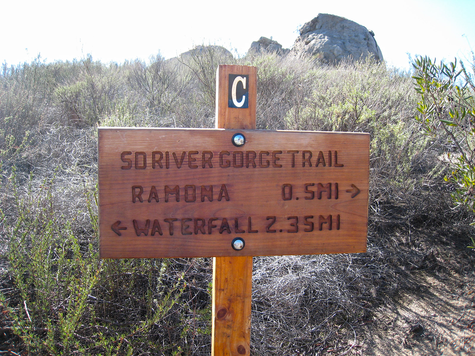
Mileage Marker Sign
Once your at the bottom of the hill, you will cross a dirt road as you continue on the path and then a couple of little creeks before you make your way into the back of a little canyon to where the falls are.
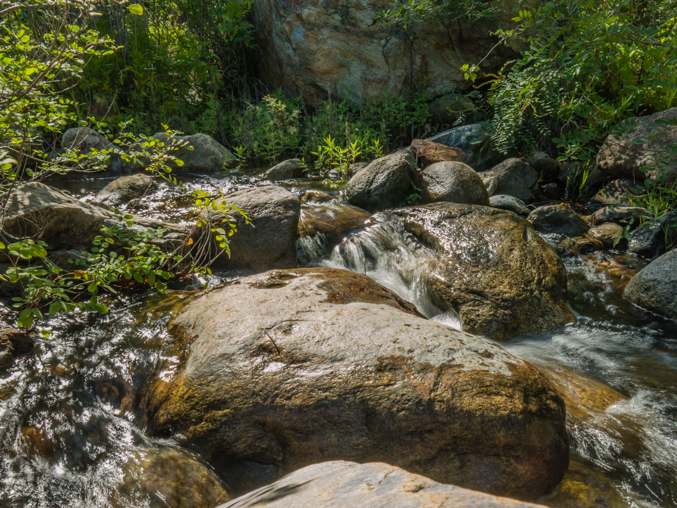
Water flowing in the one of the creeks on the way to Cedar Creek Falls
It doesn’t take to long to get to the falls, but don’t forget that the return trip is all uphill, that’s why you need to make sure to bring enough water. Once you get to the falls, there is a nice area in front of the falls to sit back and relax in the shade. Be careful on the rocks, there all a little bit slippery.

Cedar Creek Falls
Once you get tired of checking out the bottom of the falls you can always hike up to the top of the falls. To hike to the top of the falls head back out onto the trail to where the permit sign is and then head right going up the trail ( Eagle Peak Road ) towards Julian. Hike up about 3/4 a mile or so until you see the road curve towards the left and another road/trail head up towards the right, follow that trail up and over the hill and in about 1/2 mile or so you should reach the top of the falls.
The road heading up towards the Julian Trailhead. The trail leading towards the top of the falls heading off to the right.
Be careful as you make your way towards the top of the falls, I think I ran into some Poodle Dog Bush while using the bathroom and had blisters on my arms for weeks. There is also a lot of poison oak around the area as well.
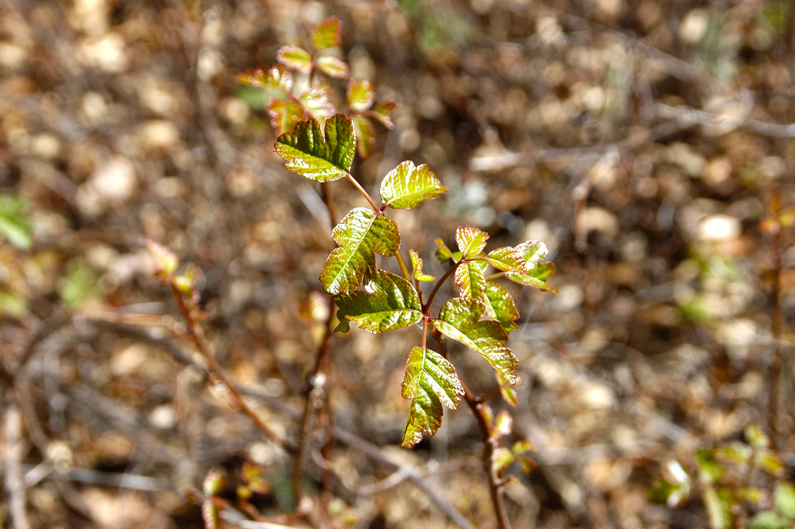
Watch out for the poison oak.
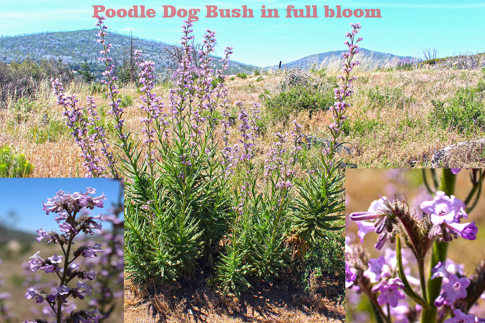
Poodle Dog Bush
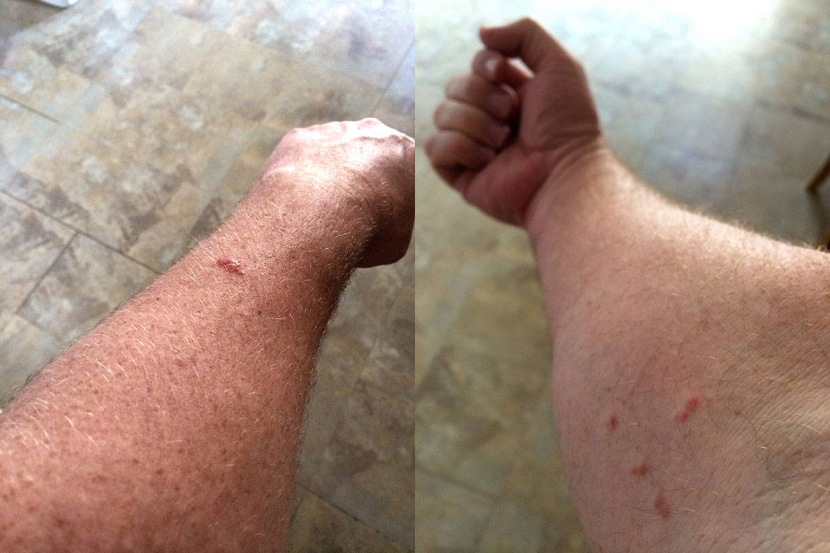
Blisters from the Poodle Dog Bush
The view from the top of the falls is great, but again I warn you to watch your step, these rocks can get slippery and its a long way down.
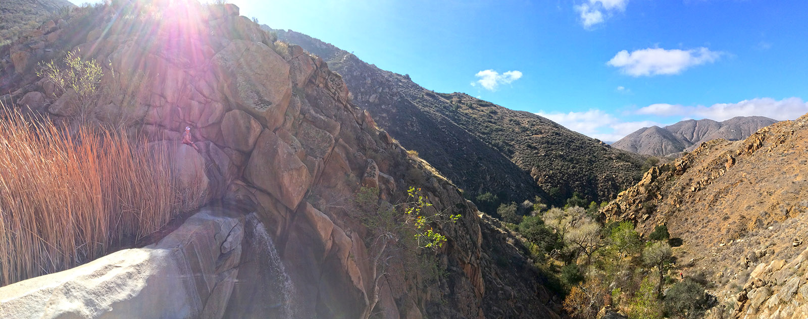
A nice place to relax at the top of Cedar Creek Falls
Weather forecast for the Cedar Creek Falls Hike:
I’m giving two different sources for weather, NOAA usually has more precise weather predictions and more pertinent information to consider when taking a hike.Click Here for NOAA Cedar Creek Falls Area


