Corte Madera Mountain
Distance: 7.76 miles out and back. Elevation Gain and loss : 2,375 feet. Time to complete: 3 – 4 hours round-trip

Corte Madera Mountain Hike Map
To Get There: Anywhere in San Diego, get to the 8 freeway and take it east past Alpine. Not to far past Pine Valley take the exit for Buckman Springs Rd. After you take the exit, follow the road straight across the old hwy 80 road, it will continue on as Buckman Springs Rd. Follow Buckman Springs Rd for about 3 miles until you see the sign for Corral Canyon Rd on your right hand side. If you look this up in Google Maps it has this road (Corral Canyon Road) listed as Morena Stokes Valley Road and that can be kind of confusing. Follow Corral Canyon Road for 4.8 miles, this road starts out as a dirt road and then turns into a narrow paved road. Around 4.8 miles you will come around a hairpin turn and see a locked gate on your right side with a huge log to the left of it. Just around the corner is a turn out that can park about 5 cars, park your car there and be nice enough to leave some room for other people if you get there first. Head past the locked gate onto the pathway and your hike begins.
There are no bathroom facilites here, so if you really need to go, make sure you stop along the way or go before you leave the house. It would be a good idea to bring a little T.P with you. The closest gas station is also 6-9 miles away, and after a long drive your car may be a little dry, so I would plan on getting gas on the way out, or night before so that its one less thing to worry about. Make sure you also get your Forest Adventure Pass, if you don’t have it posted on your windshield you may get a ticket. You can look up where to buy your adventure pass here http://www.fs.usda.gov/detailfull/r5/passes-permits/recreation/?cid=stelprdb5181410&width=full. You only need a $5.00 daily pass or if you are going to be hiking quite a bit around the forest trails you may want to get annual pass. You can pick these up at R.E.I or Big 5, there are also many other venders where you can pick them up at including a couple in Alpine in case you don’t have one and need to pick up one on the way out.
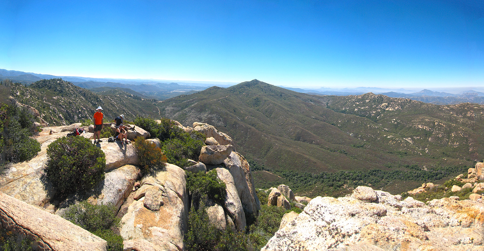
As your hike begins you will be on a nice meandering road that heads up through some nice shady oaks for about .4 miles until you come across another hairpin turn in the trail. This time if you look off to the left you should see a sign attached to a garbage can that tells you to the left is the start of the Espinosa Trail and not to go on to the right. Follow the logic of the garbage can and head left onto Espinosa Trail. You will follow the Espinosa Trail for about 1 mile heading up through a valley and following a creak bead until you hit a saddle that has several roads and trails intersecting it. Los Pinos Road heads from the south to left of you to the north to the right of you. Corte Madera Road west straight in front of you. Your going to head north up Los Pinos Road, but first take in the great View of Corte Madera Mountain in front of you. When your ready head north up Los Pinos road, beware that you may run into off road vehicles on this road, the day we where up there two jeeps passed us on the way to the same trail we were taking, it looked like they where there to repeal down the mountain face. Head up Los Pinos Road for about .3 miles and you should see a trail head in front of you across the road. Its unmarked, there is a post there and a sign about raptors, but nothing telling you that this is the trial you want to take, take it anyways. This is the only hard section of the hike, the trail becomes very narrow and and you will be heading up the mountain through shoulder height manzanita for about 1.6 miles until you reach the top of the mountain. As you head up the trail keep your eye open for birds of prey, we saw a few turkey vulture’s that we thought were condors, its was pretty cool, after looking into it a little further I found that is a common mistake. This article may help if you are interested in the differences. http://www.nps.gov/pinn/naturescience/loader.cfm?csModule=security/getfile&pageid=390871 As you get to the top of the mountain and closer to the last saddle, you should start seeing little rock piles that mark the trail for you, follow those to the end of the trail, the nice thing about this trail is there are not to many trail off shoots to get lost on along the way.
Weather forecast for the hike: