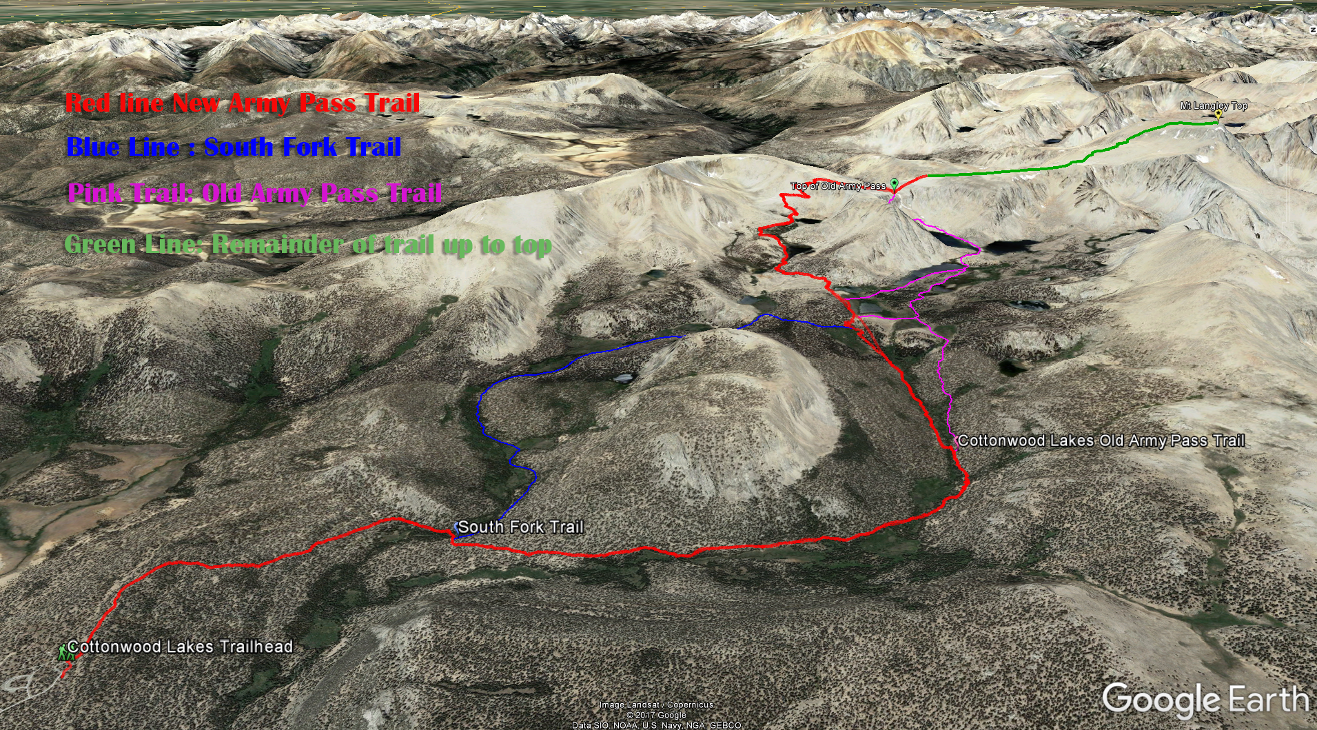
Map Area:
Red Line is the common trail from Horseshoe Meadows camping area to the New Army Pass.
Blue Line is the South Fork Trail which you could take to connect up with the New Army Pass or even the Old Army Pass but that I have not found much information on.
The Pink Line is the Cotton Wood Lakes trail that leads to Old Army Pass which is not advisable when there is still a lot of snow and ice on the trail. The trail up “Old Army Pass” has not been maintained for the last 30 years.
The Green Line is the last big push up the mountain, the part I gassed out on.
Mt Langley Trail Map- Distance: 22 miles.
- Elevation Gained: 4,042 feet.
- Top Elevation : 14,042 feet.
- Trail Difficulty: Difficult.
- Directions to Trailhead: The trail starts in the Horsemeadows area near Lone Pine California. Here are directions.
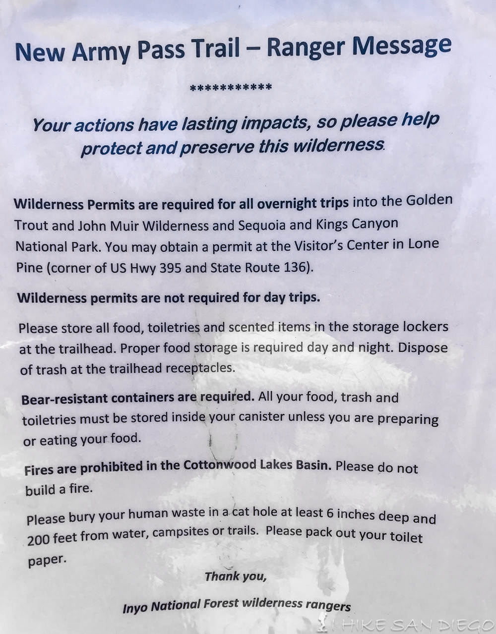
- Permits: If you try to do this as a one day hike you do not need a permit. For any overnight camping you will need to pick up a permit.
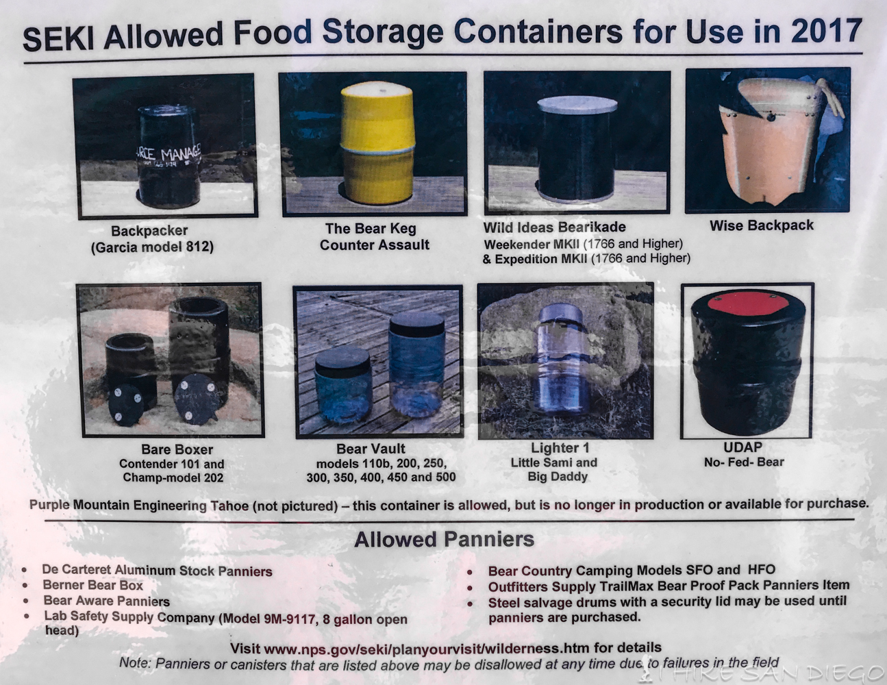
- Bathroom Facilities: There are pit toilets near the campgrounds in Horsemeadows. If you are camping near the Cottonwood Lakes you will have to make your own.
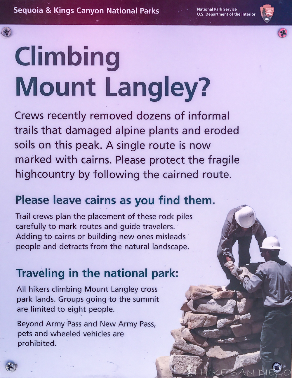
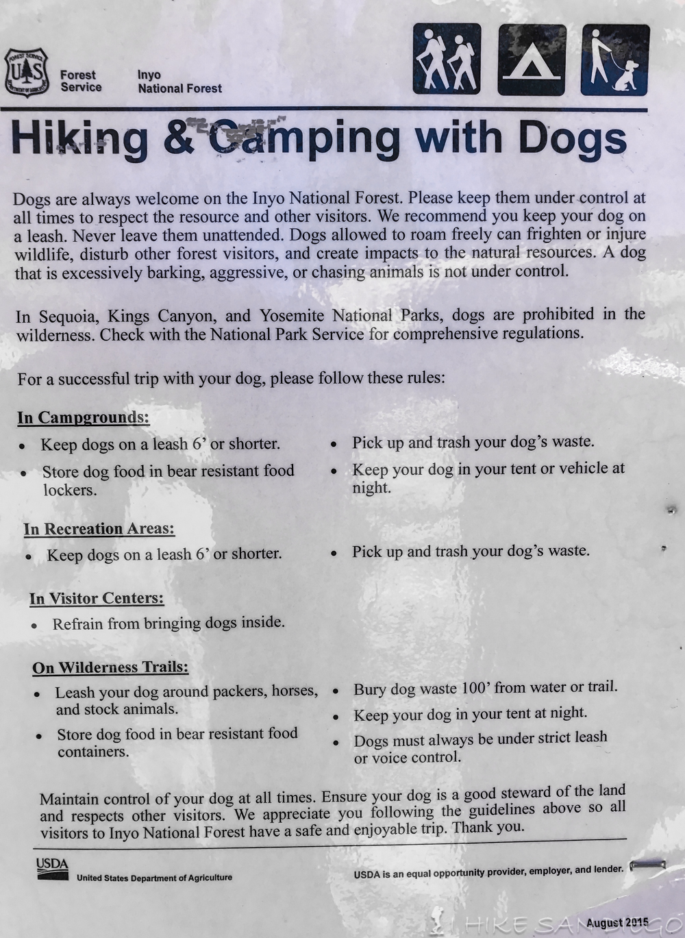
- Dog Friendly: Suprinsingly this trail is open to our 4 legged friends until you get to the top of New Army Pass or Old Army Pass and pass into the Sequia National Park area.
If you would like to be like me and not make it to the top in this hike I would suggest that you do the following:
- Don’t train for this hike
- Do try and do this whole hike in one grueling day.
- Don’t give yourself enough time to acclimate.
If you would like to enjoy this hike and succeed in making it to the top I have some other ideas.
- Take your time, hike into the lakes and camp closer to Old Army Pass or New Army Pass and then accend to the top the next day.
- We drove up on a Friday and got a camp site early at Horsemeadows. Hiked all day Saturday, and then woke up and drove back down to San Diego on Sunday. With that same kind of schedule we could have arrived at Horsemeadows on Friday and hiked 6 miles into the Cottonwood Lakes area. We could have done a much shorter 10 mile or so Hike up to the top and back to the campsite on Saturday, and then finally hiked back out on Sunday and still have been back to San Diego at a decent time.
- By stretching out the time your up there it will help you better acclimate, and by not trying to stuff the whole hike into one day you won’t feel like you got run over by a truck afterwords. To be fair I was not sore at all after this hike, but my buddies and I where exhausted. I don’t know if its the total milage and altitude of the hike, the lack of sleep in camp, or a combination of both, but it took us several days to feel back to normal after this hike. I found myself wanting to take naps for several days afterwords and just a general feeling of exhaustion, but no soreness what so ever.
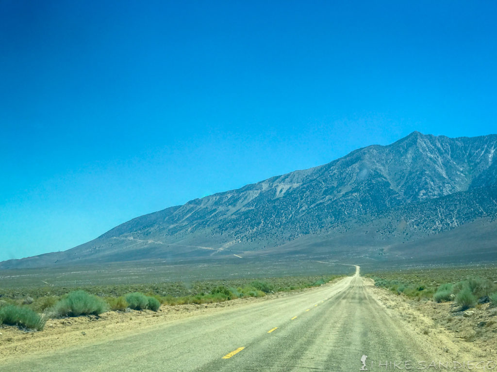
The Horseshoe Meadows road quickly ascends from the valley floor up to 10,000 feet.
The hike starts in the Horseshoe Meadows camping area. There are two different campsites for walk in campers. One a little lower down near the Horseshoe Meadows area and another one a little higher up near the Cottonwood Lakes trailhead, that is the one we used. Both sites are on a first come first serve basis, so if you are planning on camping there I would plan on getting there a little earlier. We had our choice of camp sites to choose from in the early afternoon but by evening people where having a hard time finding an open site. Remember that people use this site for many purposes, to acclimate for the Mt Whitney hike just a 1/2 hour north from here, a staging area for horse’s and mule trains, High Sierra fishing ( very popular here for the Golden Trout )
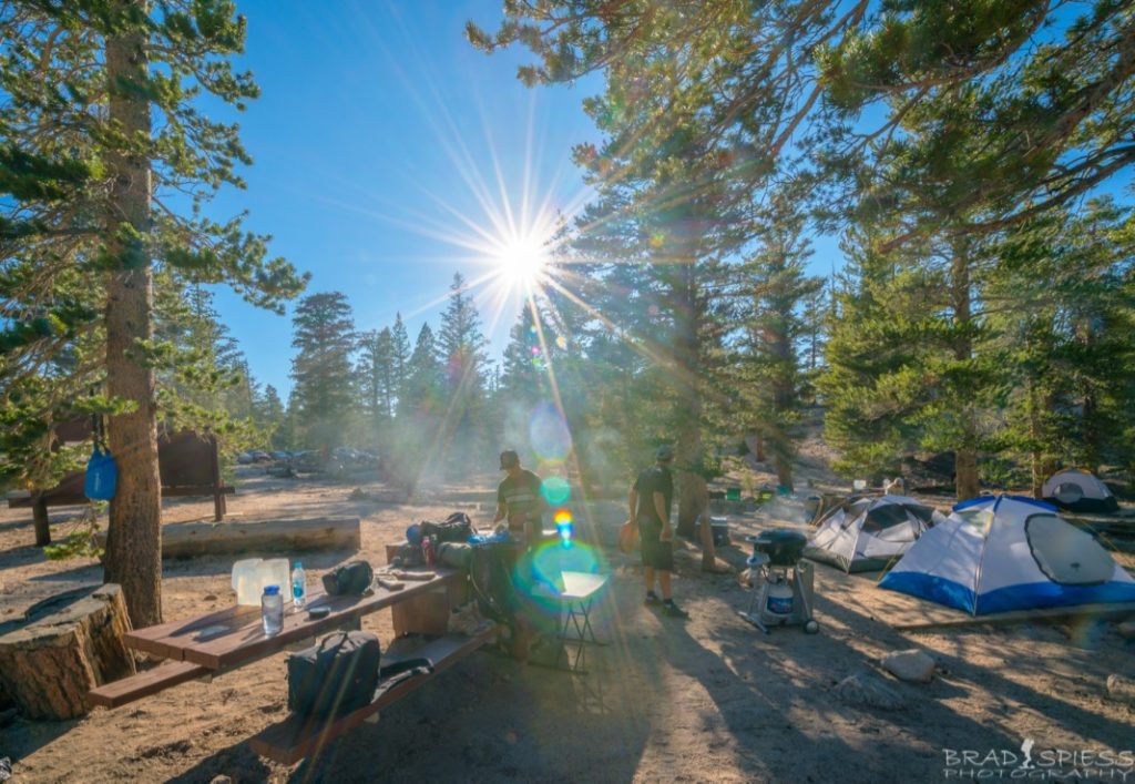
Relaxing at the Horseshoe Meadows campsite the day before the hike.
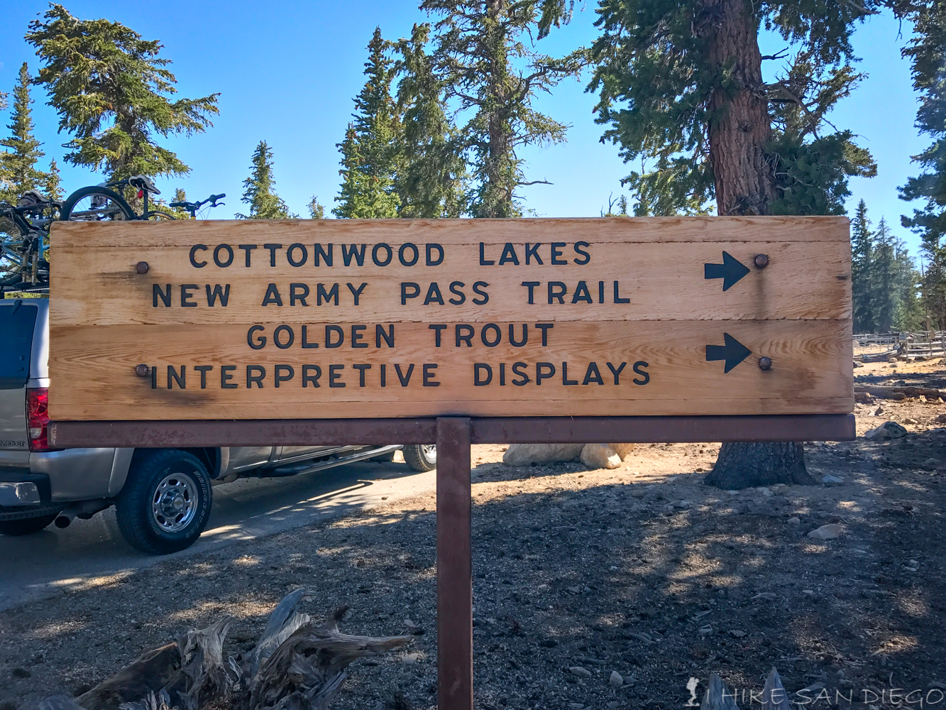
Start of the Cottonwood Lakes trail in the Horseshoe Meadows area
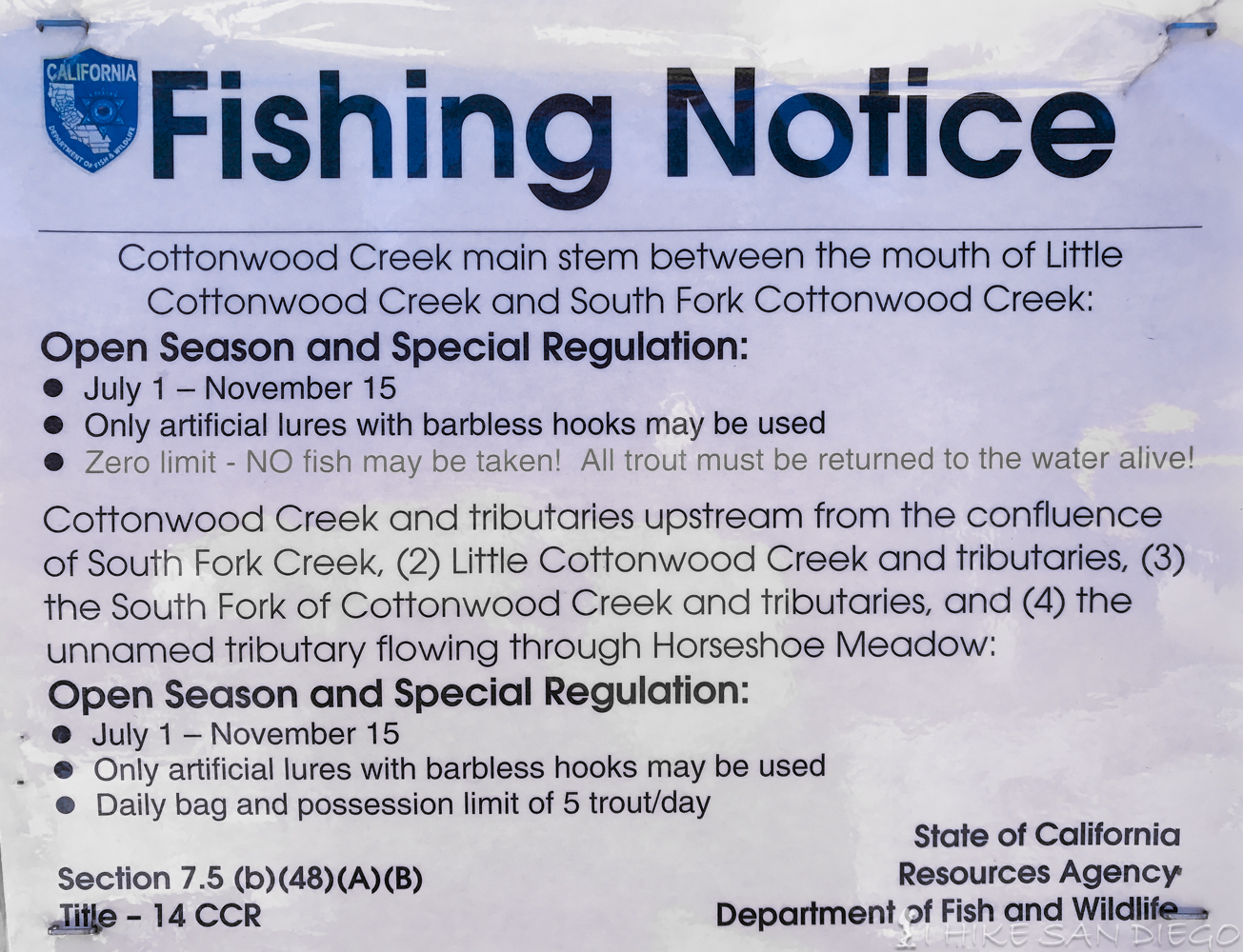
We decided to get an early start, woke up at 3 am to get some food in the belly ( dehydrated biscuits and gravy -yummm, no seriously !!), and get ready for the trail. One last stop at the pit toilets and we were on the trail around 4am. I find that a majority of the beginning of this trail is like soft sand ( decomposed granite ), I’m not sure if that is because of the horses hooves breaking down the rock but it is not my favorite kind of hiking surface. The first 1/2 mile meanders through the forest before you start to descend into a little valley below. About this point you will start to hear the water from first stream you will be crossing, The South Fork Cottonwood Creek. This year there was a lot of snow in the sierras, so the snow was still heavily melting in the middle of July. The majority of stream crossings had some sort of log bridge to help, the only one that did not was much further in the trail. Not to far after crossing the first stream there should be a trail on your left hand side that will take you up the South Fork Lakes. I have not done this trail so I can only point you in the right direction if you would like to try it here is a write up at hikespeak.
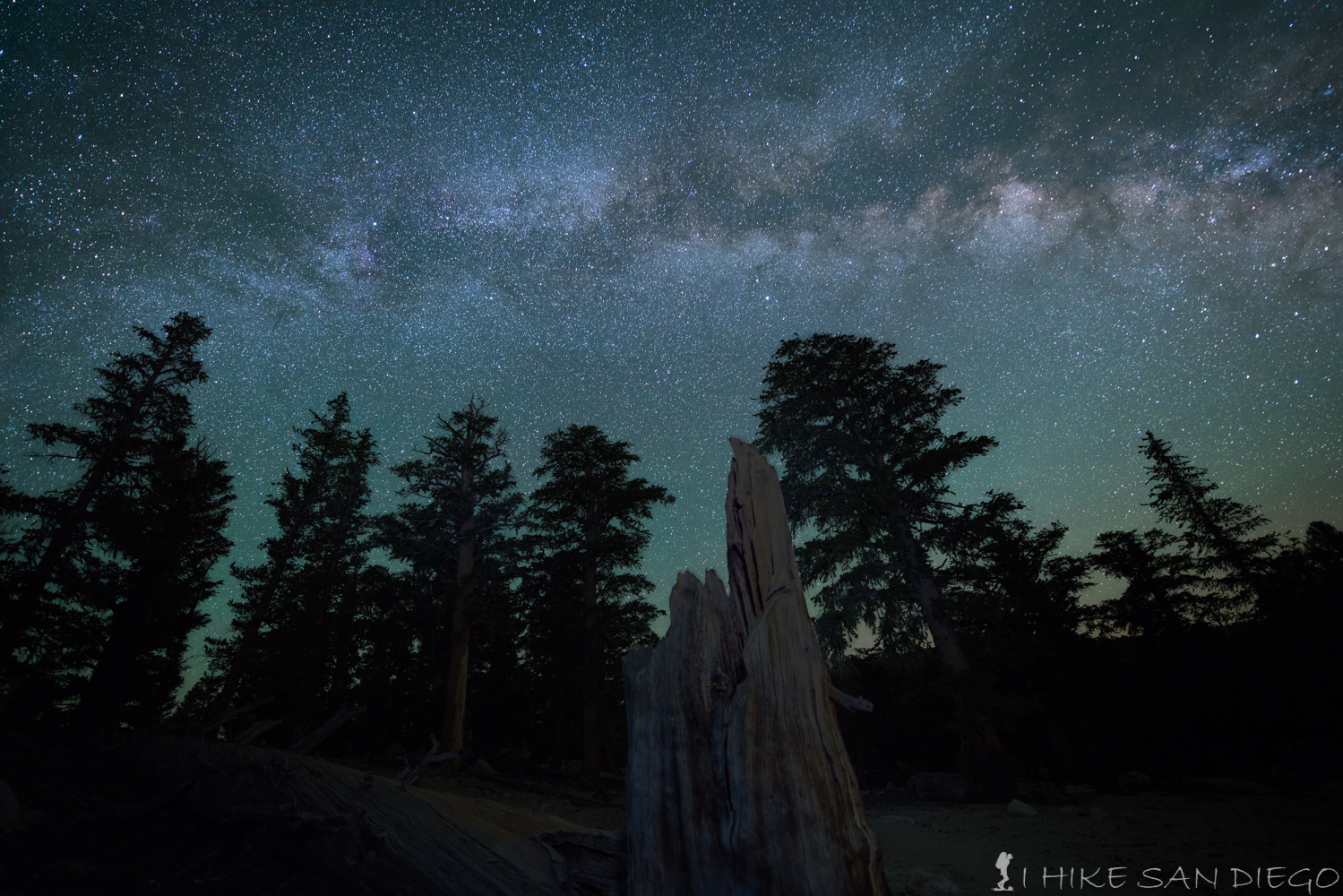
Looking up at the Milky Way from the Cottonwood Lakes Trail
Not to far after you pass the trail for South Fork Lakes the trail will start to ascend gradually as you make your way past a gentle creek that makes its way through meadows on your right hand side. At about 2.9 miles in you will come across your 2nd stream crossing and then in about 0.5 Miles you will see the junction for the Cottonwood Lakes trail and the New Army Pass trail. We took the New Army Pass up but next time I do this I think I will do the Cottonwood Lakes trail and camp at one of the lakes closer to the “Old Army Pass”. Timberline Trails gives and excellent break down of taking this trail up “Old Army Pass” to Mt Langley.
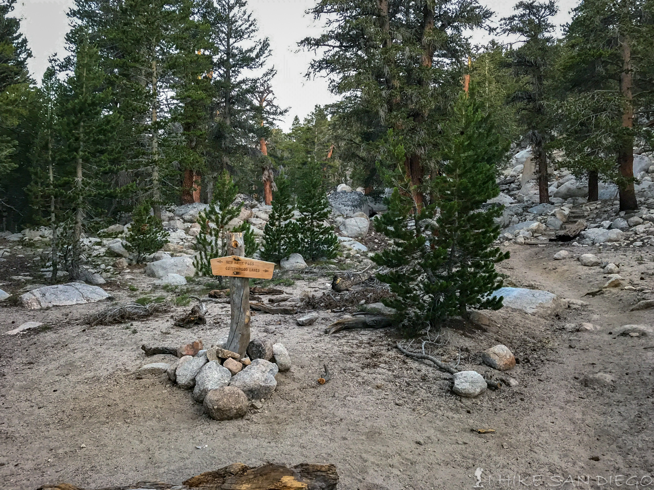
Trail split for Cottonwood Lakes trail and New Army Pass trail
After you pass the trail split for Cottonwood Lakes and New Army Pass you will continue to ascend another 500 feet over the next mile before you crest at 11,000 feet and the Cottonwood Lakes area. As you make your way up you will start to see a change in the trees and hear a waterfall coming from the Cottonwood Lakes drainage. Just before you crest you should see a sign for the South Fork Lakes area, if only they had this one down at the start of the trail. As you get close to 11,000 feet you will start to see a change in the type of trees you will see along the trail. I also did not see a lot of wild life along this hike, but I did see a lot of marmot’s, cute little thieves.
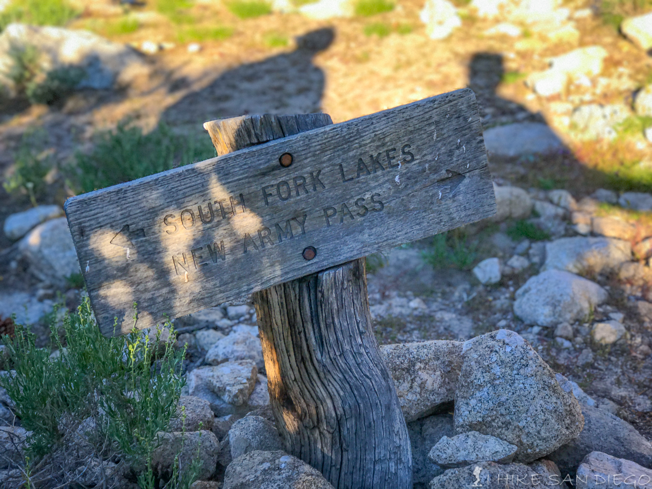
South Lakes and New Army Pass trail junction
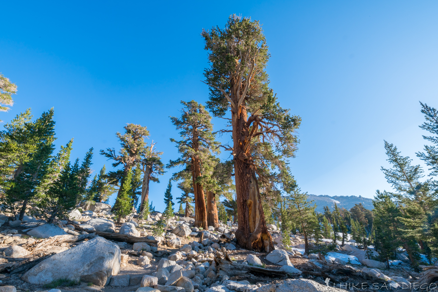
Trees starting to change on the way up
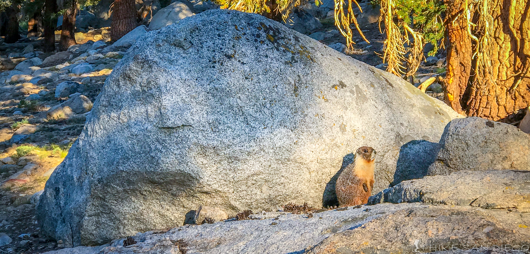
Marmot on the side of the trail
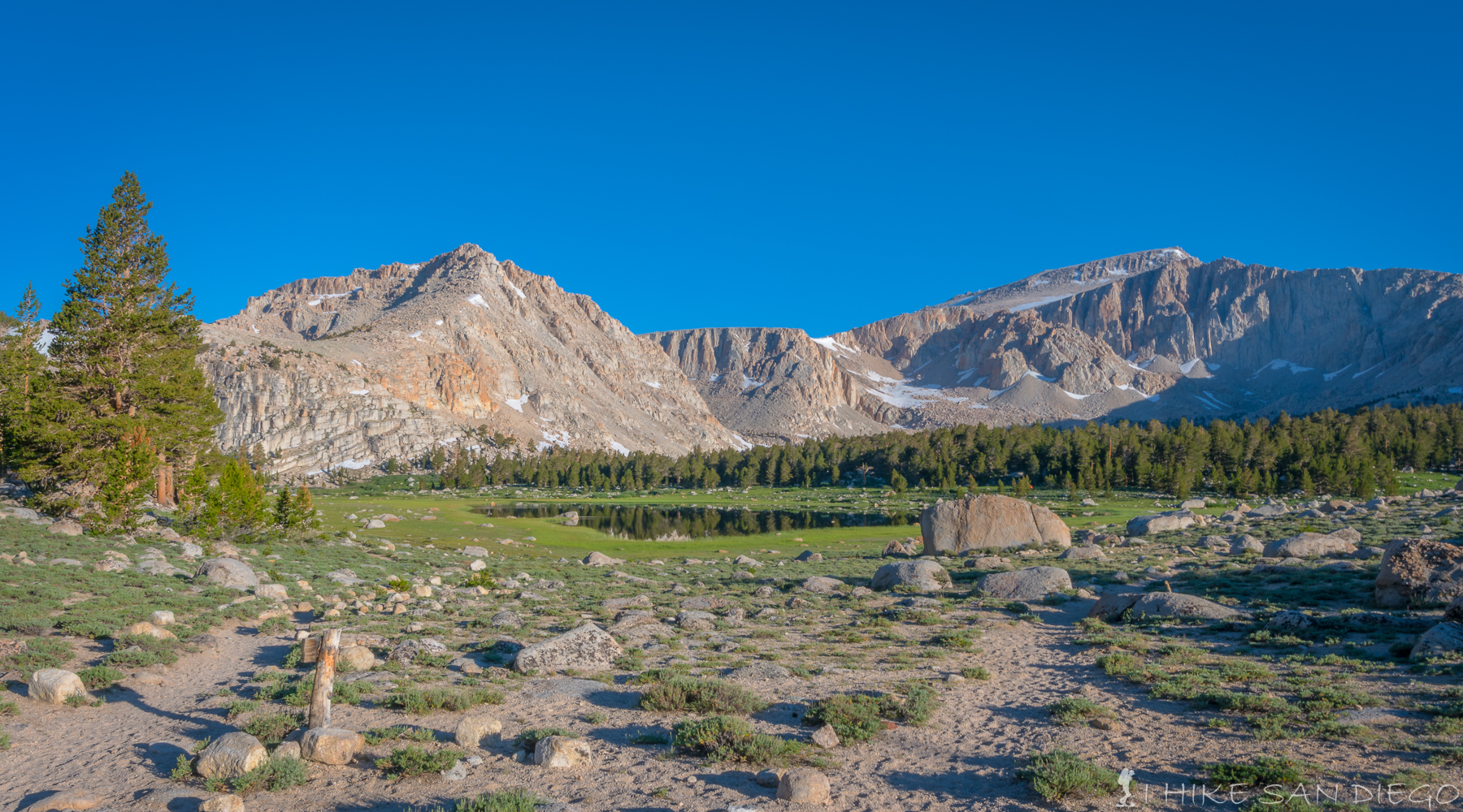
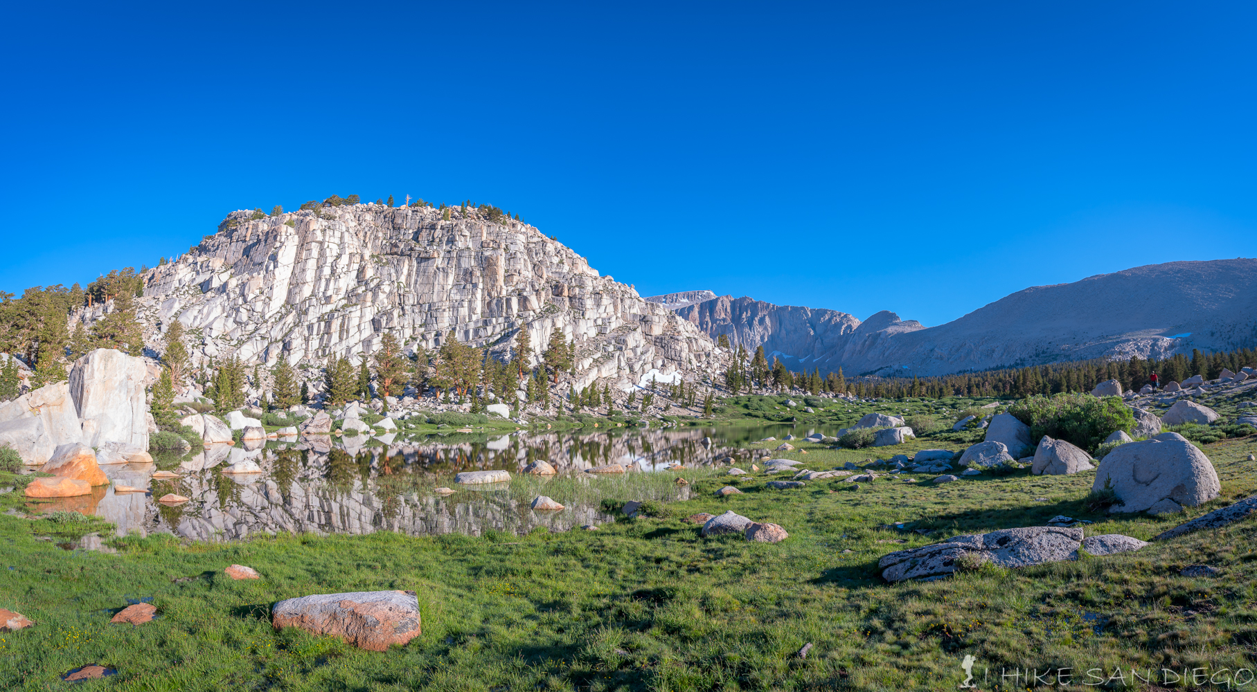
You will crest at 11,000 feet into the Cottonwood Lakes area and the first lake ( literally lake #1 )will be directly in front of you along with a great view of Mt Langley off in the distance. Pose for those pictures you know you want to take and then continue making your way along the trail where you will soon pass and 2nd lake ( which again is literally lake #2 ) before you hit a boulder field that you will have to cross.
Lake #1 in the Cottonwood Lakes area and the first lake you come across as you crest the trail at 11,000 feet.
Lake #2 in the Cottonwood Lakes area
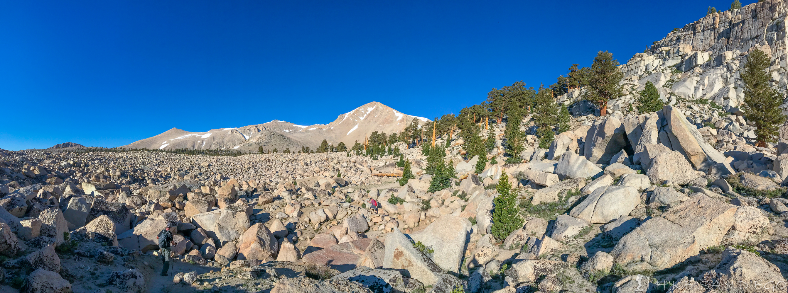
Crossing the bolder field right after passing by Lake #1 and #2 in the Cottonwood Lakes area.
About 0.5 Miles after starting your trek through the boulder field you will come across the drainage from Long Lake into the South Fork Lakes area. This is where I decided to refill my water but don’t worry you still have a chance to do that at High Lake before you run out of water sources. One nice thing about this hike is the abundance of water and therefor not having to carry all the water you need, but I would make sure you refill at High Lake because you will not have any water sources after that and it will be another 10 miles and several hours of hard hiking before you are back at this point.
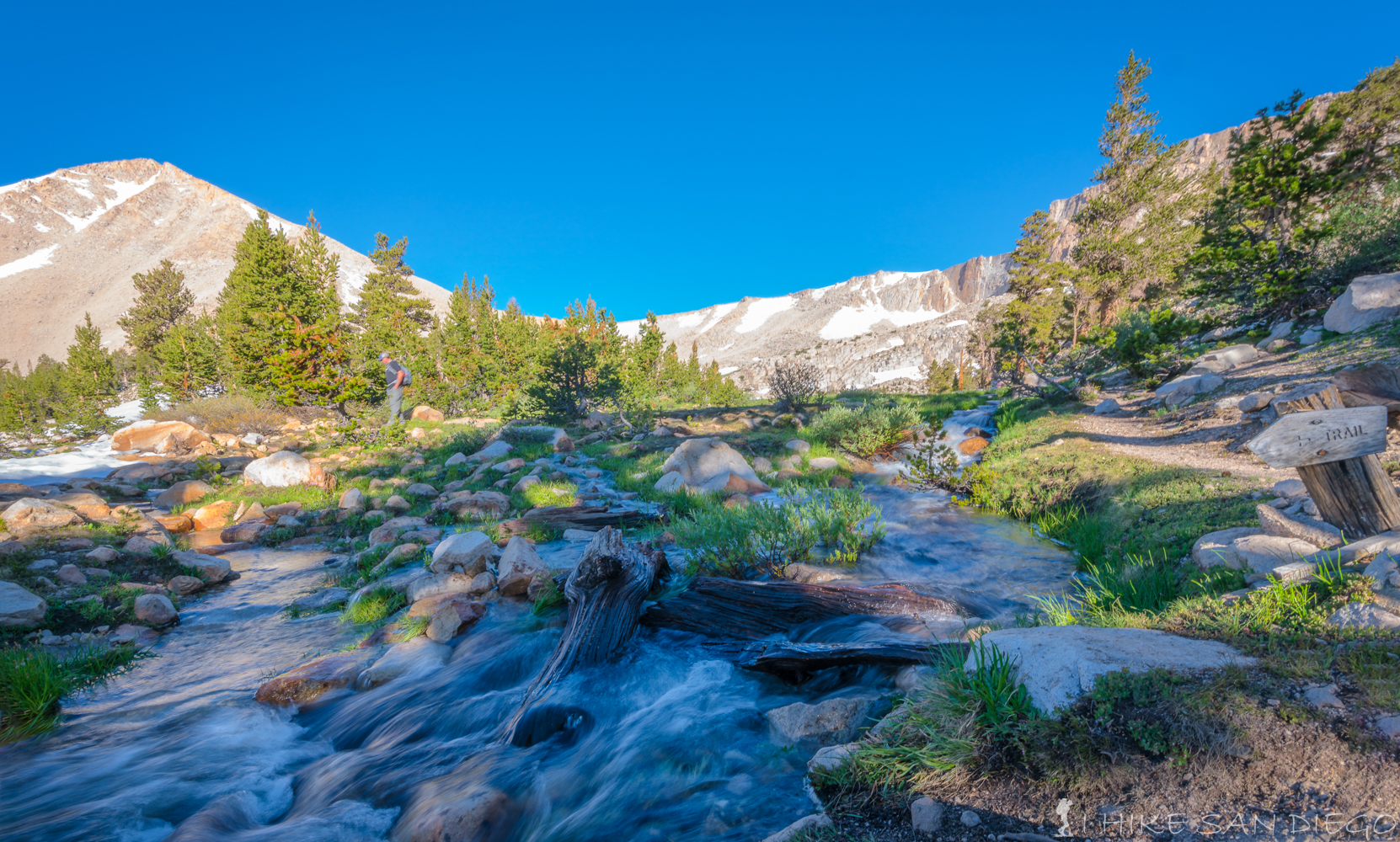
Trail cross’s the drainage from Long Lake to the South Fork Lakes area.
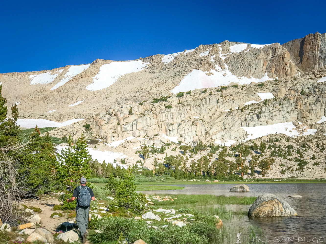
Hiking along Long Lake with New Army Pass off in the distance.
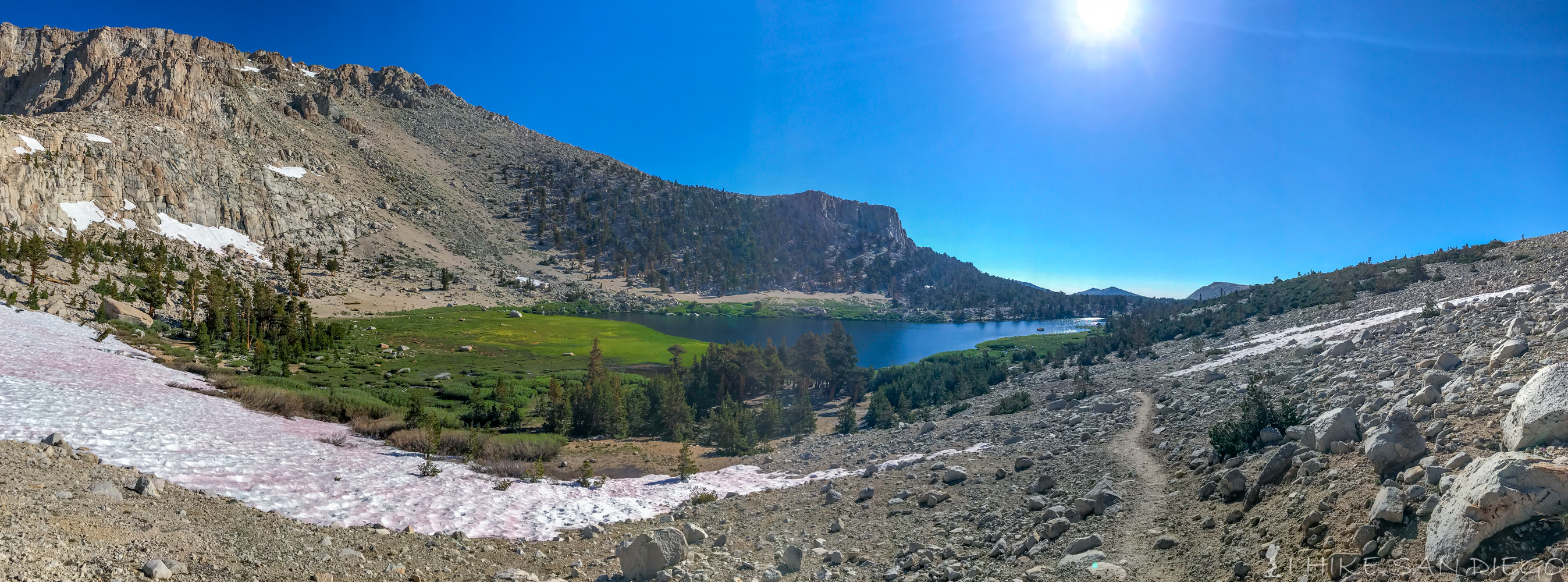
Making our way past Long Lake
You will make your way through “Watermelon Snow” about just short of another mile up the trail before you hit High Lake, your last water source and one hell of a beautiful spot. I could not stop staring at the cliffs behind the High Lake that rise straight up from High Lakes height of 11,500 feet to the crest of New Army Pass at 12,300, Its an impressive sight.
Heading up to High Lake on the New Army Pass trail through pink “Watermelon Snow”.
High Lake at 11,500 with sheer 800 foot cliffs behind the lake.
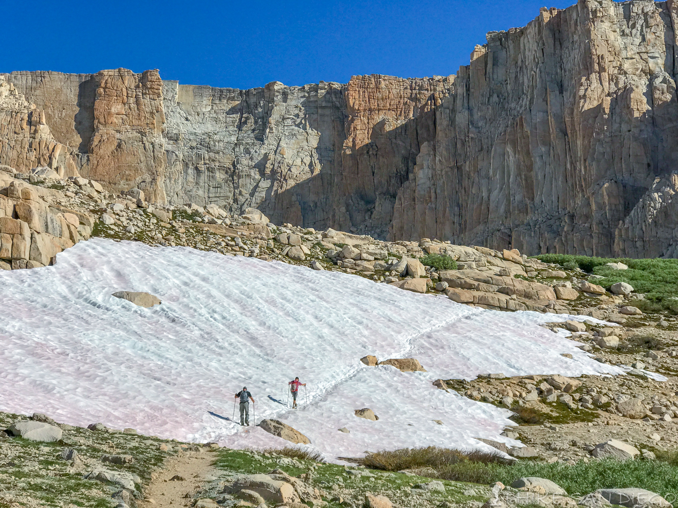
As you pass by High Lake get ready for a workout, your going to climb about 800 feet in the next 1.5 miles or so from High Lake up to the Crest of New Army Pass. The trail starts off pretty easy to follow, there was one spot where you could see that someone had just keep going straight up a steep snowfield earlier in the season, you could see people being stumped as they looked up this slop until the looked to the right and saw the switchbacks continuing up towards the top. As you get towards the top the trail gets harder to follow, people have really been cutting the trail and have created a mess out of the trail towards the top. When we where there the very top got a little tricky as we made our way up through a little slot between the rocks and the snow field, I needed to stow my poles in my bag to climb this last part, now take a little break and take in the view of where you have come from and just how much further you have to go.
Starting up the switchbacks on New Army Pass
Making our way through fields of rock and snow up New Army Pass
Looking back past High Lake and Long Lake from the switchbacks on New Army Pass
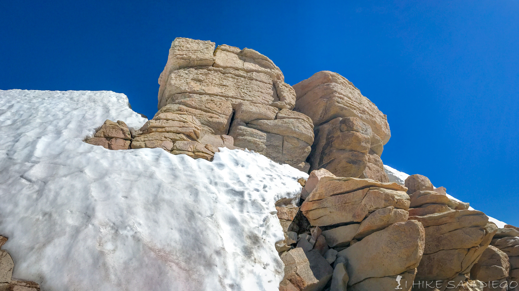
The little crevice between the rocks and snowfield at the top of the New Army Pass switchbacks.
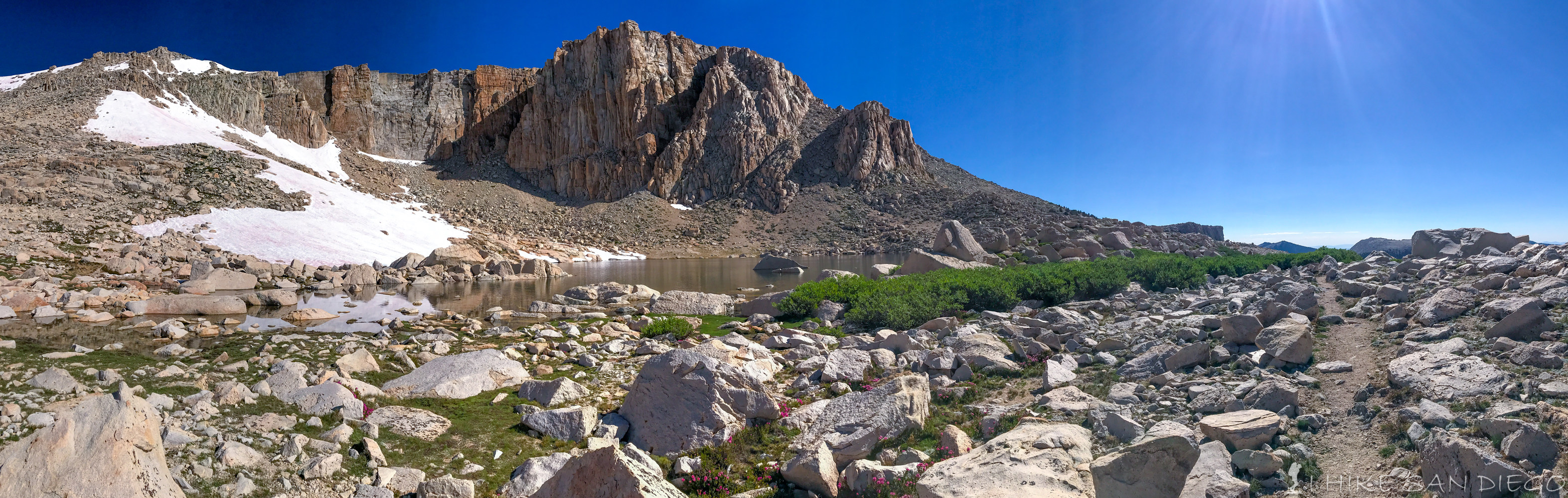
Looking towards the top of Mt Langley from the top of New Army Pass
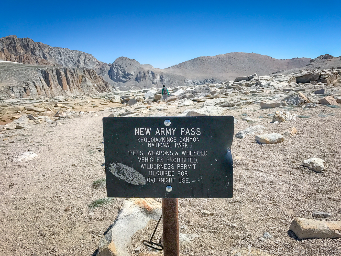
New Army Pass Sign, if you had your 4 legged friend with you this is where your supposed to stop, but not followed by many.
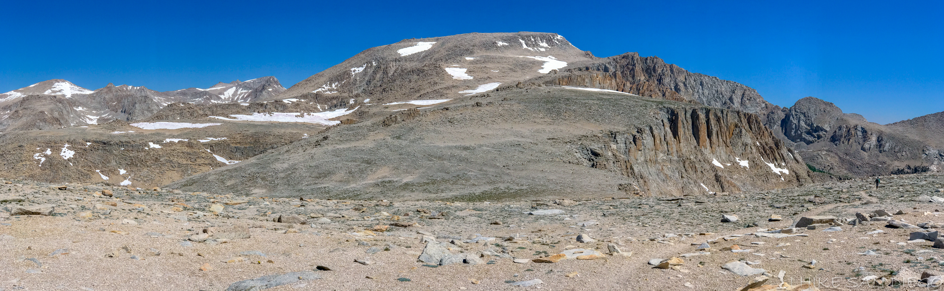
After you have made it to the top and taken a little break start heading down the trail loosing about 300 feet before you head back up the slop to gain it back ( don’t you hate that ). I found that the trail really continues on west towards Sequoia National Park. You will see a trail across the little valley that heads up towards Mt Langley, eventually you will just need to get off of the trail your on and head that way. If you head towards the cliffs you see the very top of “Old Army Pass”, and the sign letting you know that your now entering Sequoia National Park.
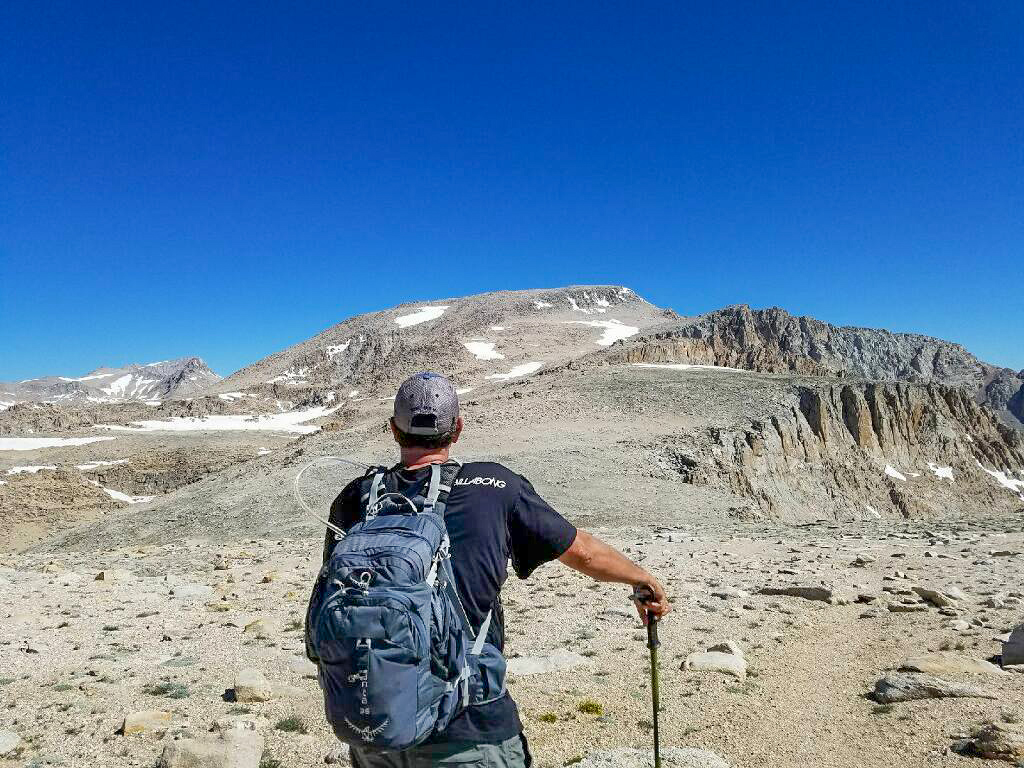
Looking towards Mt Langley from the top of New Army Pass
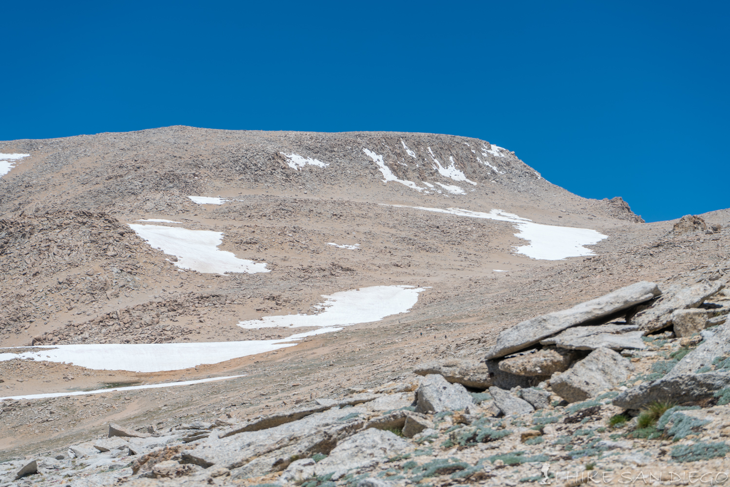
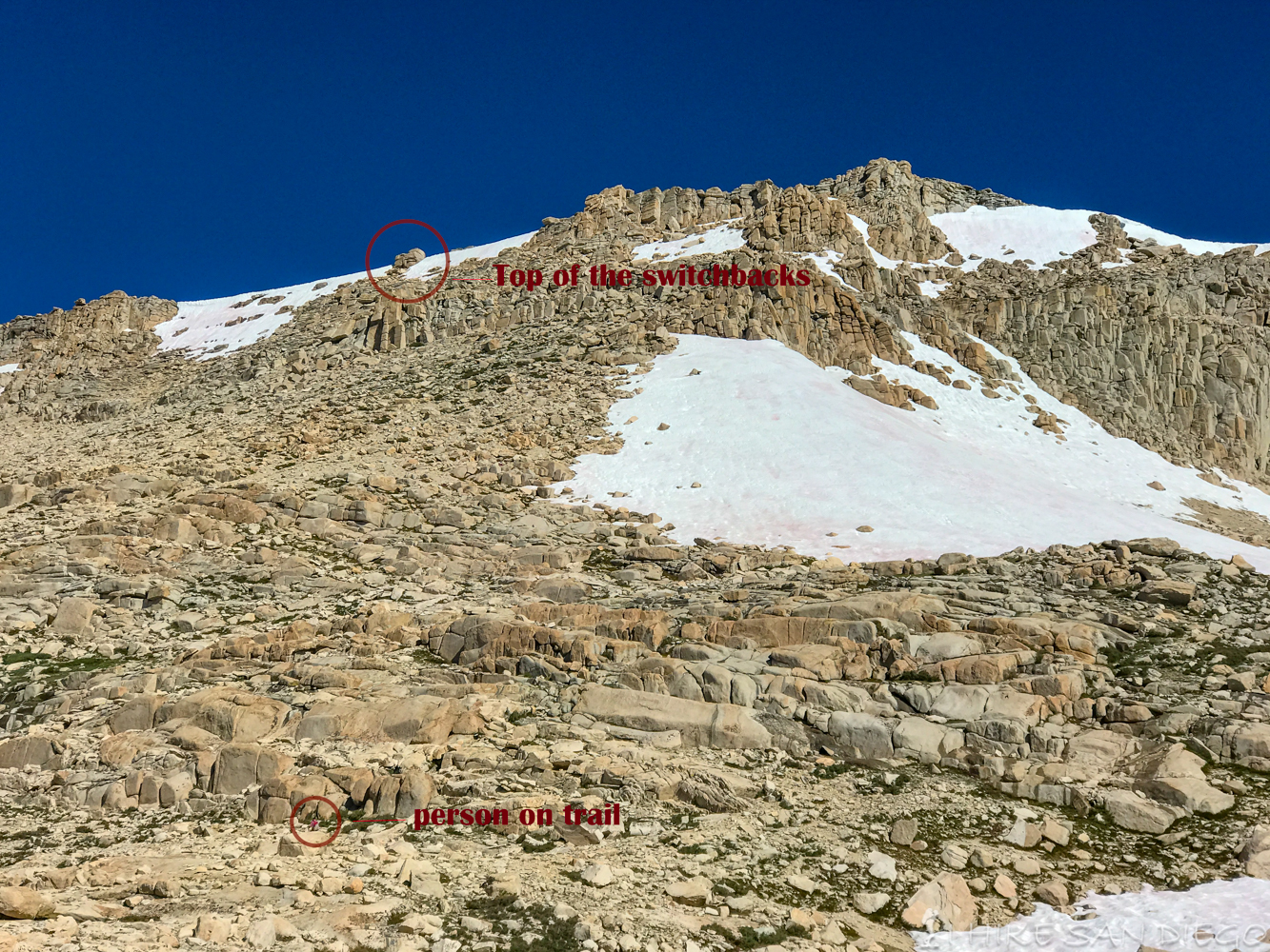
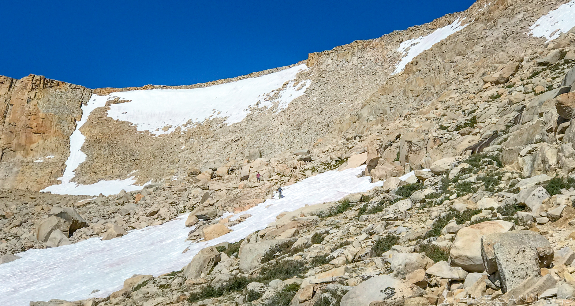
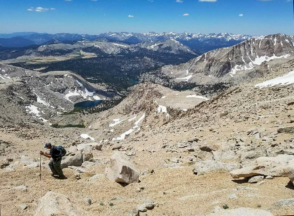
People making their way up the last grueling push to the top of Mt Langley.
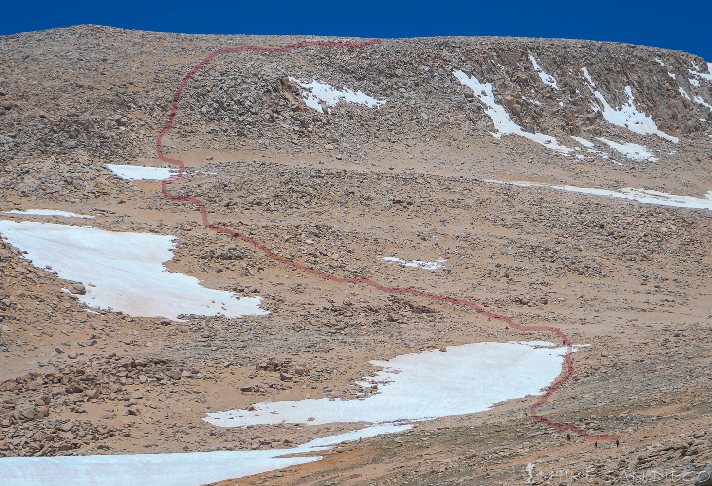
The general trail that people were following towards the top.
At this point I’m sorry to say I had to stop. I could feel myself wheezing and coughing around this point and I was feeling gassed. I waited for a little bit in the shade of some rocks before deciding to head back down. My friends were able to make it to the top and what they told me was that the trail got harder and harder to follow as you made your way to the top. Very sandy ( deep decomposed granite ), just try to keep following the trail cairns on your way up. They said that as you made your way to the top of one crest you would keep finding that there was another one in front you to climb again. Eventually they where scrambling up rocks towards the top before they finally made it to the very top.
Making our way up the sandy ground towards the top
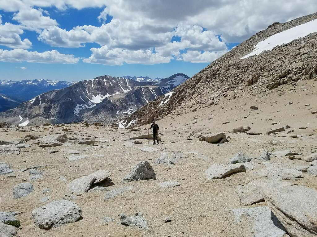
Coming up towards the top with Sequoia National Park behind
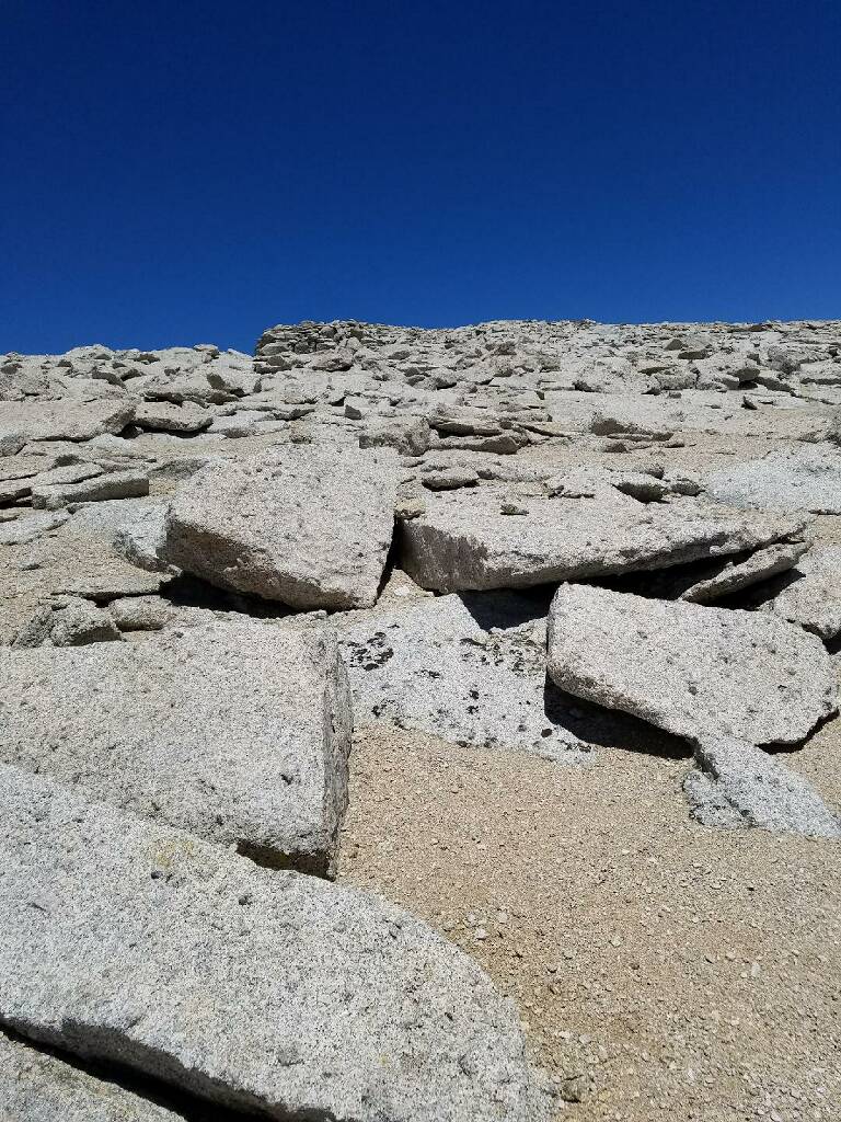
The surface towards the top of Mt Langley
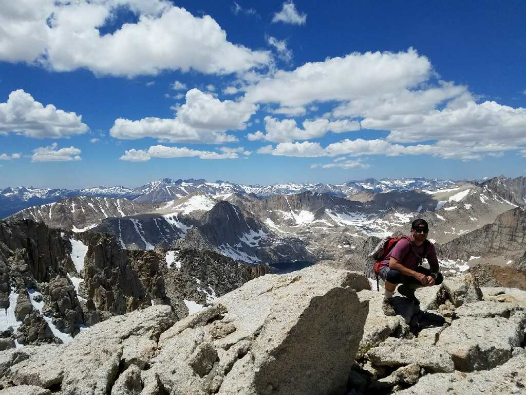
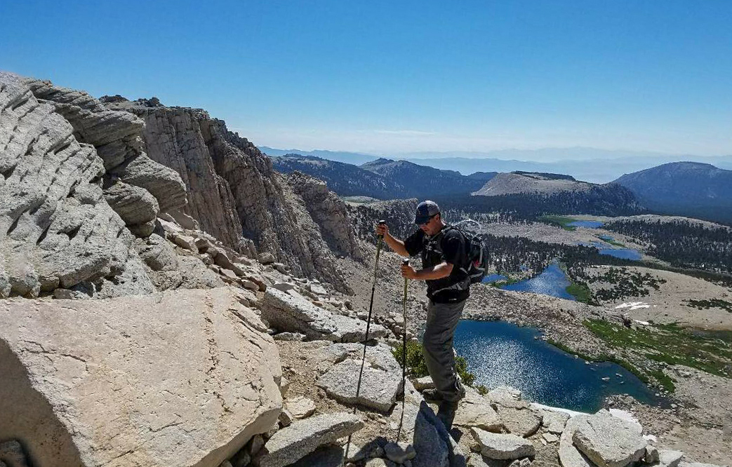
My buddy posing at the top of Mt Langley
Weather Forecast.
I decided to forgo the usual weather forecast I give on each page and direct you to a more direct and thorough weather forecast for the area.Check it out here: Mt Langley Weather Forecast.