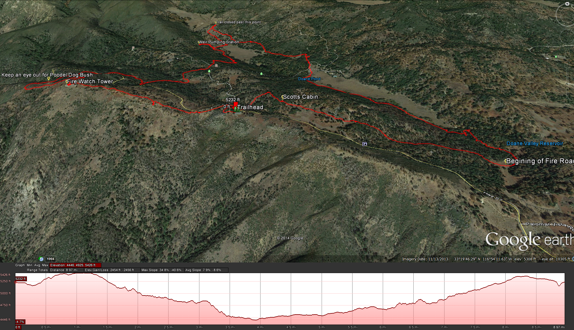
Google Earth: Palomar Mountain Distance: 9 Miles.
Elevation Gain: 1300 Feet.
Difficulty : Moderate. Time to complete: About 4 hours or so.
Directions to the trailhead for the hike: At the Silvercrest Picnic Area, just past the ranger station where you pay your $8 for parking.
Printer Friendly Version of the Map: The Order of Trails going in a clockwise direction for the Palomar Hike: Boucher Hill Trail – Adams Trail – Baptist Trail – Weir Trail – Upper French Valley Trail – Doan Valley Campground – Thunder Spring Trail – Chimney Flat Trail – Silvercrest Trail I got the idea for this hike off of this site
Modern Hiker , but as we were following the trail directions we deveated from the trail approach by taking the Baptist Trail down to the Weir, I didnt think that the baptist trail was as undermaintained as the authhor of the site indicated, but taking the baptist trail changed the hike somewhat.
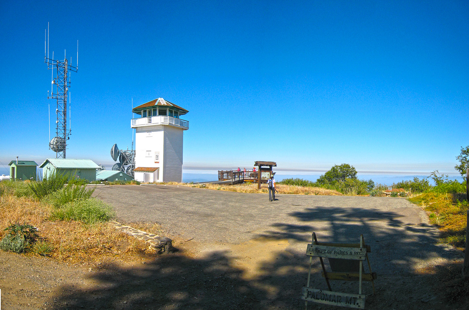
The hike starts in the Silvercrest Picnic Area, just past the ranger station that you need to pay your daily use fee at. Head back to the road and wander down until you see the sign for Boucher Hill. Follow the trail up Boucher Hill, its a nice little warm up for your legs and before you know it you will reach the Boucher Hill Fire Tower Lookout Tower. There is a little history behind this tower so take your time, look around, climb up into the tower ( they only allow 4 people at a time to come up) and check out the inside, its much differnt then some of the other fire towers I’ve been up in, the view from the top is great, and the people maning the tower always seem glad to share their experience with you as well.
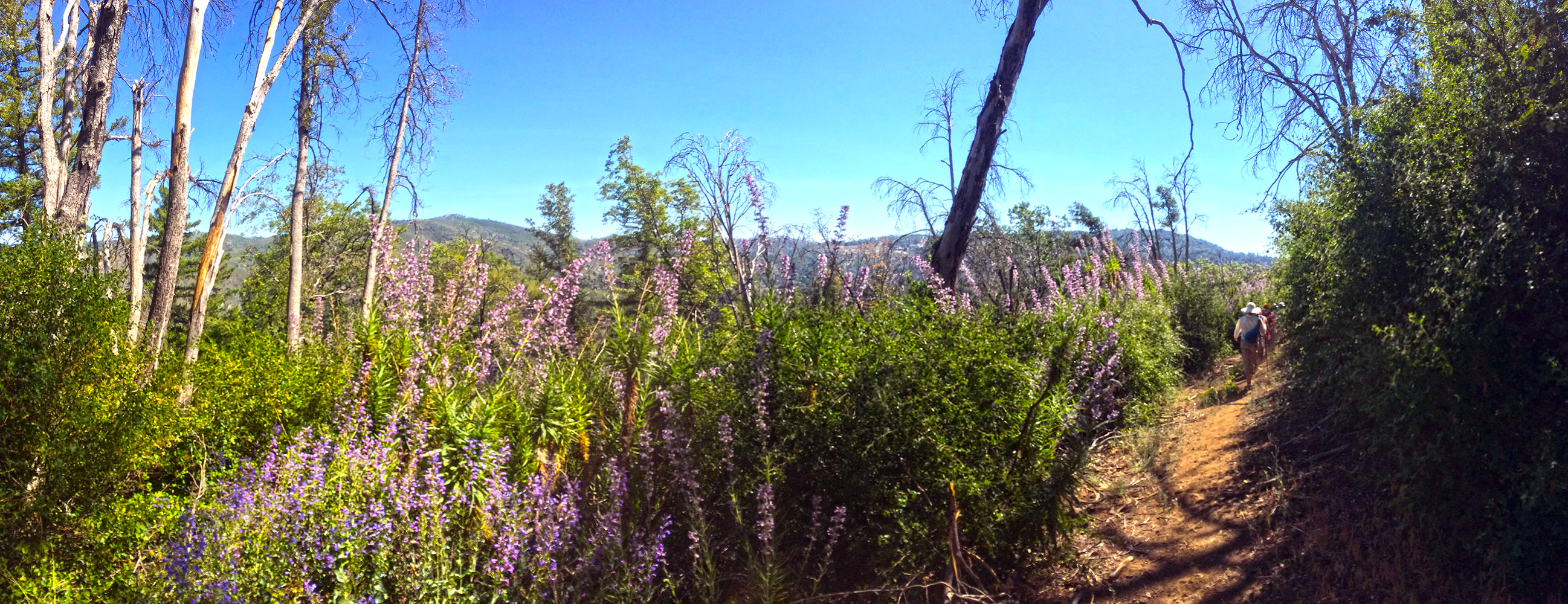
After checking out the Boucher Hill Fire Tower, continue on with the Boucher Hill Trail on the northwestern side of the fire tower as it starts to head down hill and through an old burn area. For here on the trail gets very narrow with a lot of over growth pushing in from either side as you head down hill, keep an eye out for the notorious Poodle Dog Bush. This nasty bush will give you a much worse reaction then poison oak, you will actually get blisters compared to the rash you get from poison oak, I still have a scar on my arm from a poodle dog bush blister I received while hiking at the top of Cedar Creek Falls.
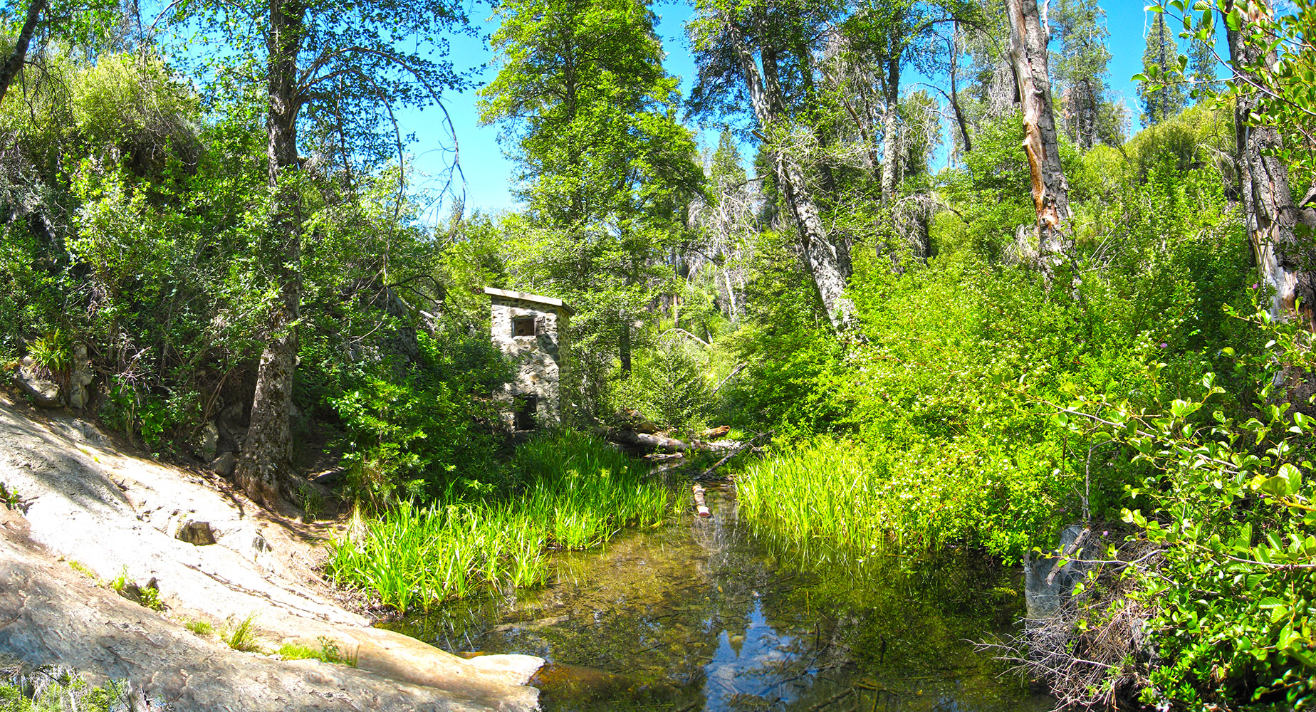
After heading downhill for a while wondering if every plant you rub against is poison oak or somthing worse you will eventually come to a little road ( the Nate Harrison Grade), cross the road and start heading down the Adams Trail towards the Cedar Grove Group Campground. As you near the campground you will skirt around the western side of the campground and connect up into the Baptist Trail. Follow the Baptist Trail down to a little fern covered meadow and conect up into the Weir Trail. As you north west on the Weir Trail you will see another little trail off to the side for the Weir, take it, its only a 10th of a mile and its a little hidden gem in the park, a great place to take a break and have a snack.
As you leave the Weir, you will conect into the Upper French Valley Trail. The Upper French Valley Trail will take you through a nice grasy meadow with some of the tallets pine trees you will see in the park. You will head up the valley until you see a sign saying the rest of the trail is closed ( if you keep an eye open you will see a sign showing you the sharp right turn you need to take in oder to keep on the trail) head back down the north side of the French Valley Trail back through the meadow until you come into the Doane Valley Campground. Take bathroom break if you need it and then head down the road through the campground until you see the parking lot near the pond. Take the Thunder Spring Trail to the left of the parking lot, the Thunder Spring Trail will skirt along the western side ( near the forest ) of the pond and then head back into the forest towards Thunder Spring and then start heading up the mountian towards Thunder Ridge. You will come out of the forest into a fern covered meadow and concect up into the Chimney Flats Trail on a fire road. Follow the road up through the forest, the road will start off as a gravel road and then turn into a soft dirt road as it makes is way up to the ridge. When you finally make your way up into the ridge you will conect into the Scotts Cabin Trail. Follow the Scotts Cabin trail through the little valley and up through some forest past the old remains ( a few planks of wood) of Scotts Cabin until you come to another trail junction that takes you back to the Silvercrest Pinic Area and the trailhead for the hike. Weather forecast for the Palomar Mountain Hike:
The location could not be found.
