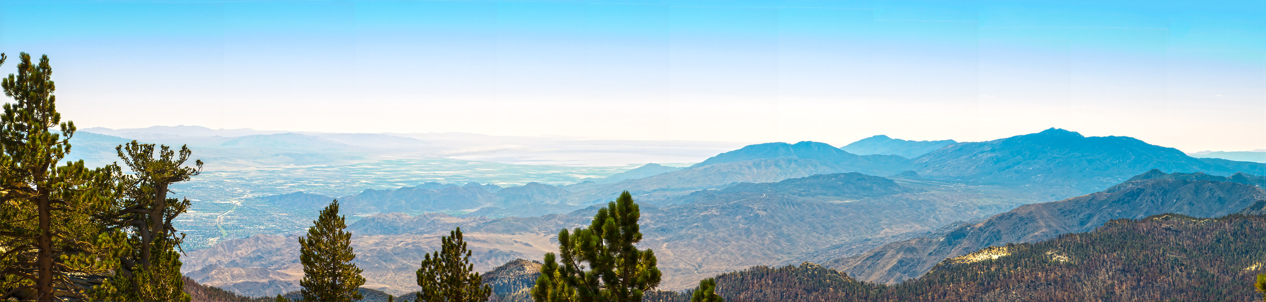
Looking down at Palm Springs and the Salton Sea from the top of San Jacinto
Distance: 12 miles. Elevation Gained: 2362 feet. Top Elevation : 10,834 feet.

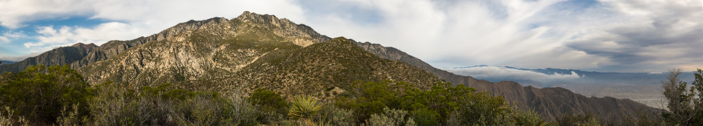
Looking towards the Pacific Ocean
Distance: 11.8 miles. Elevation Gained: 4800 feet. Top Elevation : 10,834 feet.
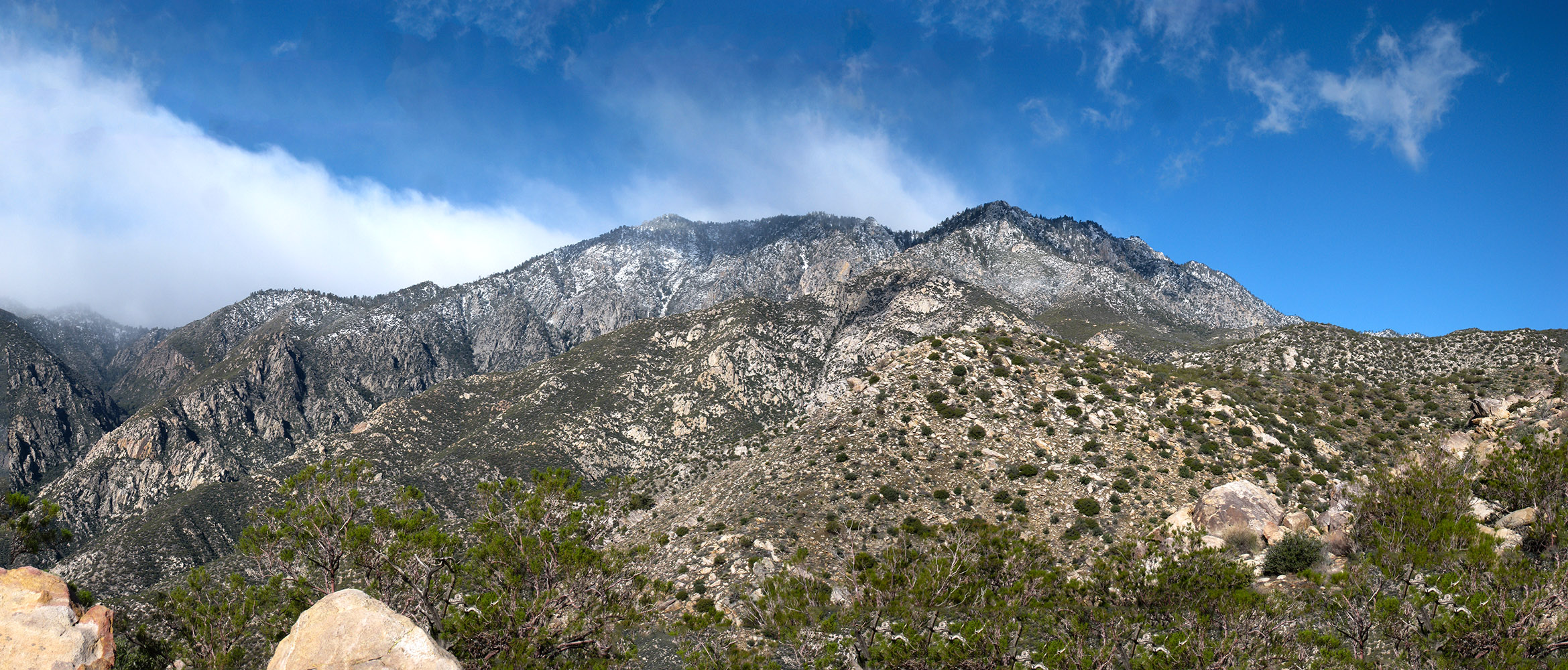
Looking towards the top of the ridge covered in snow on the Skyline Trail
Distance: 11 Miles. Elevation Gain: 8,300 feet. Top Elevation of 8,500 Feet.
Looking up the mountain as you climb Cactus to Clouds
Distance: 22 miles. Elevation Gained: 10,200 feet. Top Elevation : 10,834 feet.
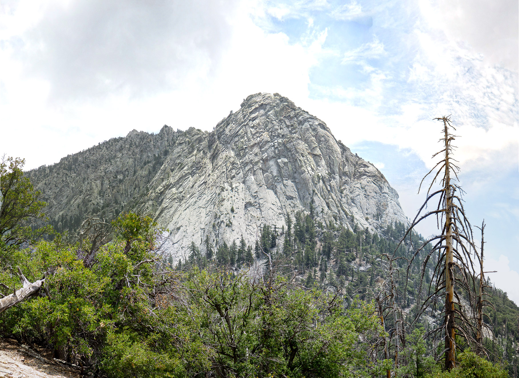
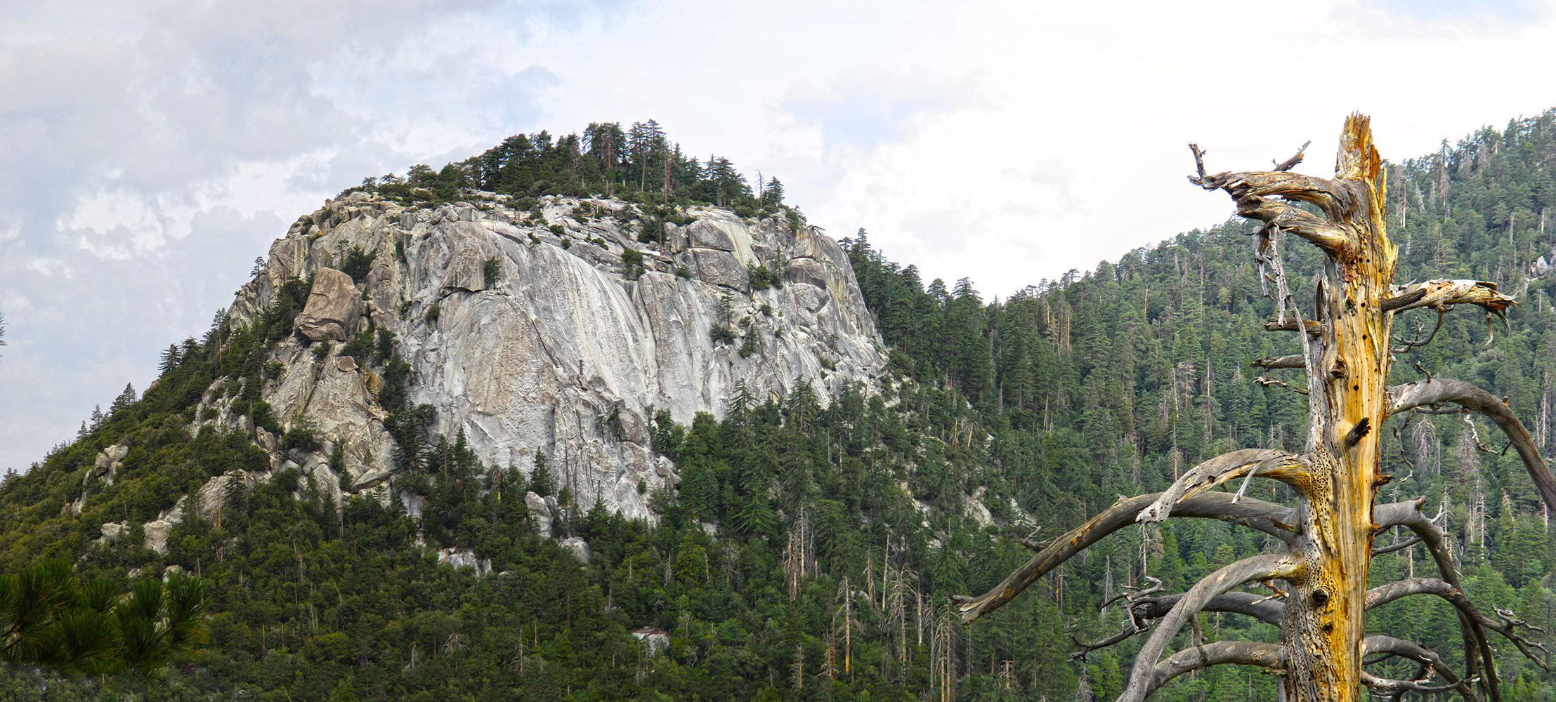
Looking up at Lily Rock from the Devils Slide Trail
Distance: 9 miles. Elevation Gained: 2350. Top Elevation : 8,846 feet.
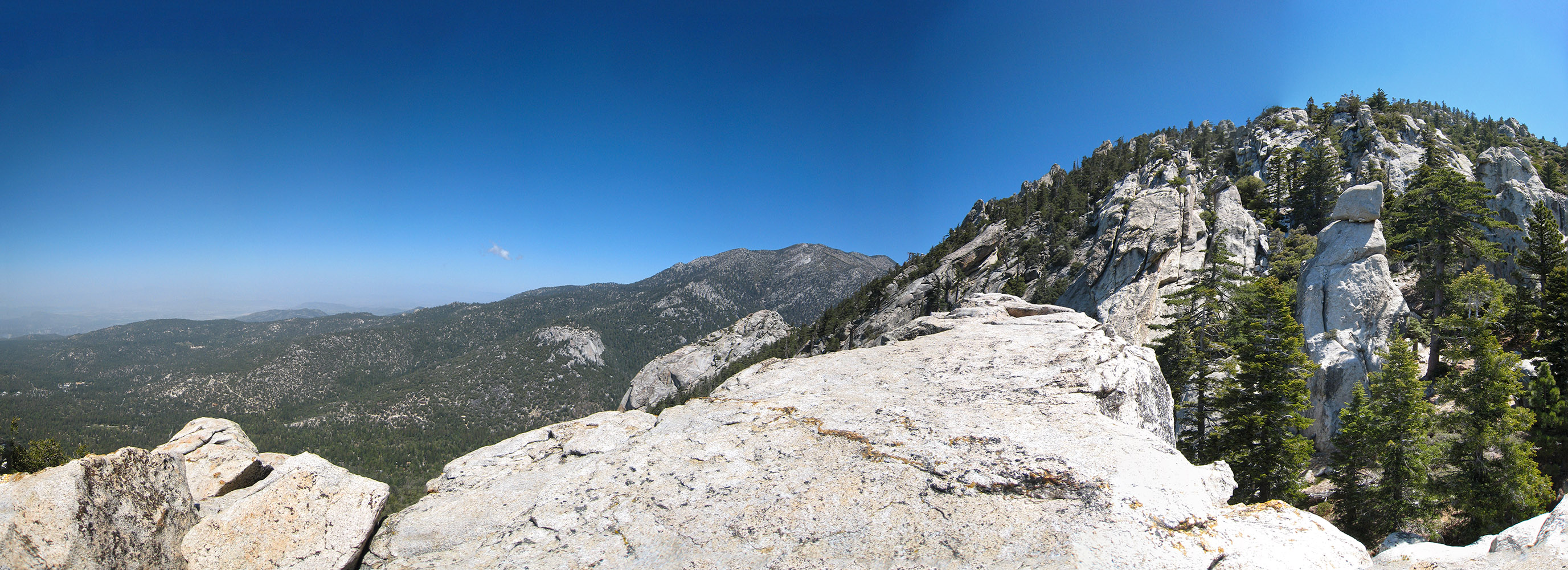
Looking towards Suicide Rock and Lily Rock on the way up to Tahquitz Peak
Distance: 8 miles. Elevation Gained: 2,187 feet . Top Elevation : 8,846 feet.
Looking back at Suicide Rock from the Devils Slide Trail
Distance: 6.6 miles. Elevation Gained: 2,000 feet . Top Elevation : 7,500 feet.
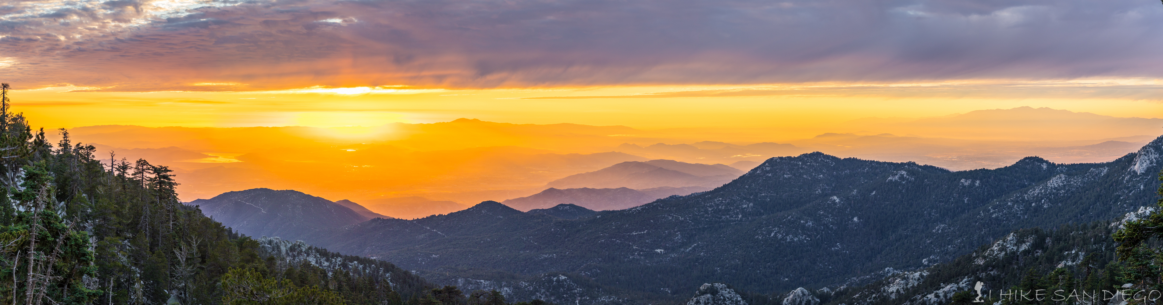
Sunset from Fuller Ridge Trail
Distance: 16 miles. Elevation Gained: 3100. Top Elevation : 10,834 feet.