
Distance: 7.5 miles. Elevation Gained: 1400 feet. Top Elevation : 8,200 feet. Trail Difficulty: Moderate
Directions to Trailhead: This trail starts half a mile west of the Big Bear Discovery Center on Highway 38 on the north shore of Big Bear Lake near mile marker 038 SBD 53.50. The Cougar Crest Trailhead.
Permits: You will need an Adventure Pass. $30 annual pass, $5.00 day pass. I usually buy this every year at my local Big 5 Sporting Goods Store, but you can also pick up the pass at the Big Bear Discovery Center and park there if you want as well. If you start your hike from the Discovery Center plan on an extra 0.5 miles each way on the hike, not really a big deal.
Bathroom Facilities: There is a pit toilet at the trailhead, I found it not to bad when I was starting off at 7am, but when I got back down 3 hours later and it had started to heat up you defiantly started to have a lovely aroma.
Dog Friendly: Yes, this trail is open to dogs on leash’s. I ran into a couple of people walking their dogs on this trail. Just make sure to bring some water for your 4 legged friend.
Kid Friendly: The trail up to Cougar Crest is pretty kid friendly, but the length of the trail and the last part going up the steep road to the Bertha Peak may alliciate groans from them.
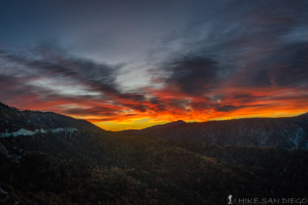
Watching the sunrise from the “Arctic Circle” on my way to the hike.
After driving to the trailhead in Big Bear from Arrowbear, about a half an hour away I found I was the first person at the trailhead at 7am. The drive over was beautiful while watching the sunrise, it makes me want to go back and do this hike about 2 hours earlier so I can catching the sun rising from the top. Before starting the hike make sure you have nothing of value in plain site. I’ve heard of issue’s with cars being broken into here before, it is just off the main road, but if that really worries you park at the Discovery Center 0.5 miles east where there is more foot traffic
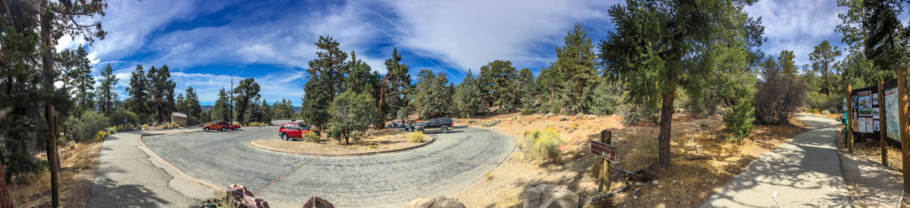
Cougar Crest Trailhead
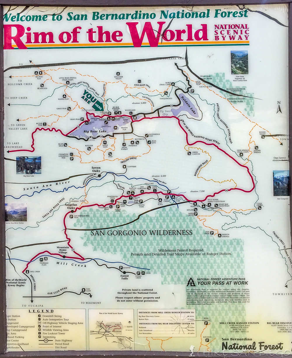
Map sign at trailhead
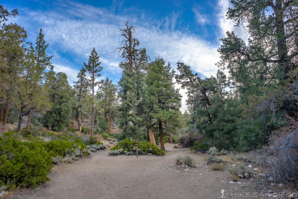
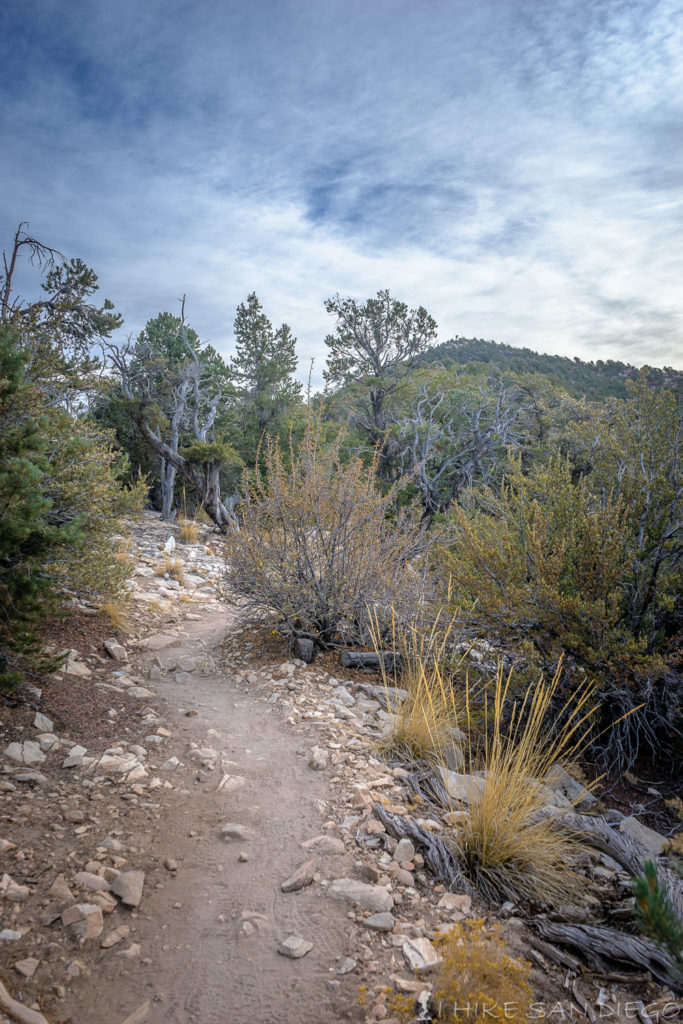
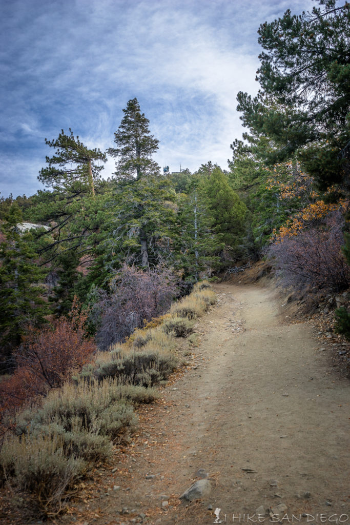
Starting up the Cougar Crest Trail
The Cougar Crest Trail is a moderate trail with a few rocky areas, but the rocky areas are not to bad. About 0.5 miles into the trail you will notice a side trail that you can follow to an old mining operation. I don’t know what was being mined here but its always interesting to wonder about, its just a shame that people feel the need to tag something like this.
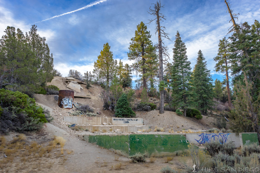
Old mining operation just off of the trail.
As you continue to head up the trail keep you eye open for some of the beautiful trees along the trail. I’m no expert on the classification of these trees but I think I am getting better at recognizing the different varieties.
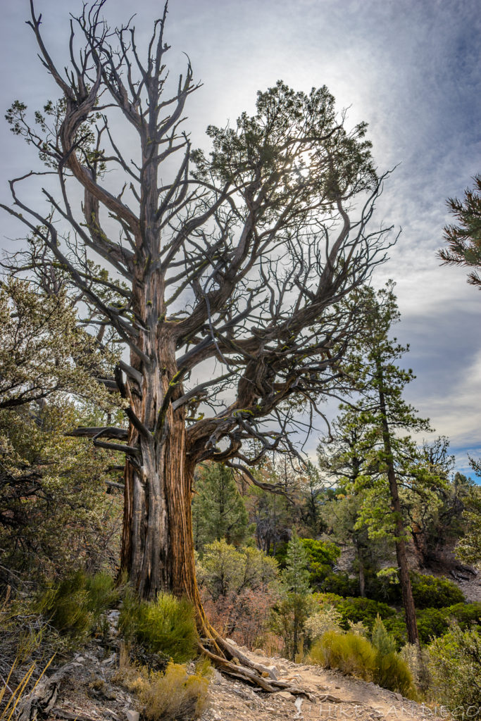
Interesting tree along the side of the trail
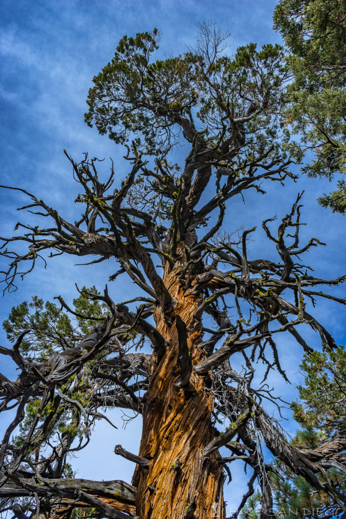
Western Juniper
One thing that you start to see as you keep heading up on this trail are a number of benches along the side of the trail. A great place to rest and take in the view of the lake. I think this would be a great place to watch the sunset.
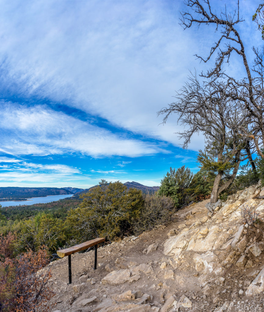
Benches along the side of the trail are a great place to rest and take in the view
About mid way up the trail you will start to see the summit you are heading for Bertha Peak. This is one of those hikes where you keep seeing the summit in different areas and wonder if you are getting any closer to the top.
Viewing the summit about mid way up the hike
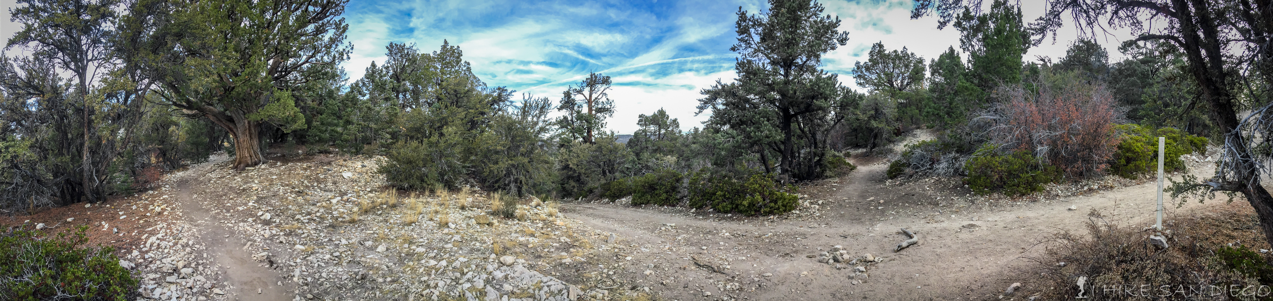
About 2.3 miles into the hike you will wrap around the northern side of the slope and connect into the Pacific Crest Trail at about 2.5 miles into the hike. Take the trial to the right and follow the Pacific Crest Trail east along the ridge for about another 0.5 Miles until you connect up with the dirt road that will take you up Bertha Peak.
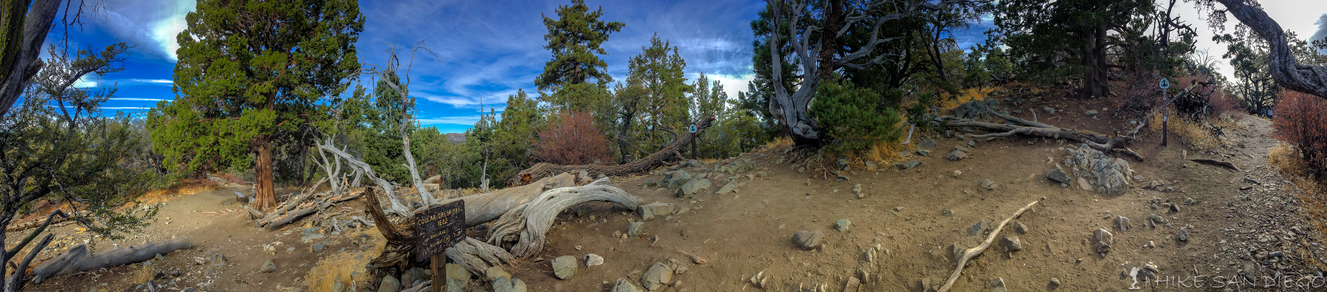
Connecting up with the Pacific Crest Trail from Cougar Crest Trail.
Connecting up with road to Bertha Peak from the Pacific Crest Trail.
The trail has been moderate up to this point, but once you connect up with the road up to Bertha Peak you will feel that last 0.8 mile trek to the top, gaining about 500 feet of elevation from 7700 feet to 8200 feet at the top.
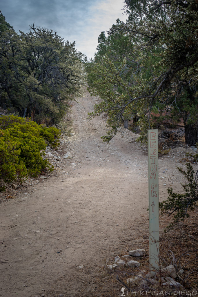
The sign pointing you towards the road up Bertha Peak
The steep road up to Bertha Peak with the radar dish’s becoming visible towards the top.
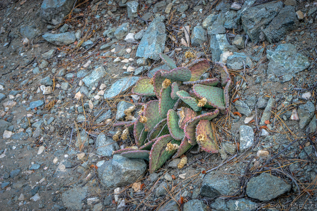
I’ve never seen cactus this high up.
Once you make it to the top ( and I mean the very top) take some time to enjoy the scene, after all this what you really came up here for. To the south and southwest you can see Big Bear Lake and even the top of Mount Baldy. It can get really blustery and cold up at this point so I hope you brought a jacket, because I was freezing my but off.
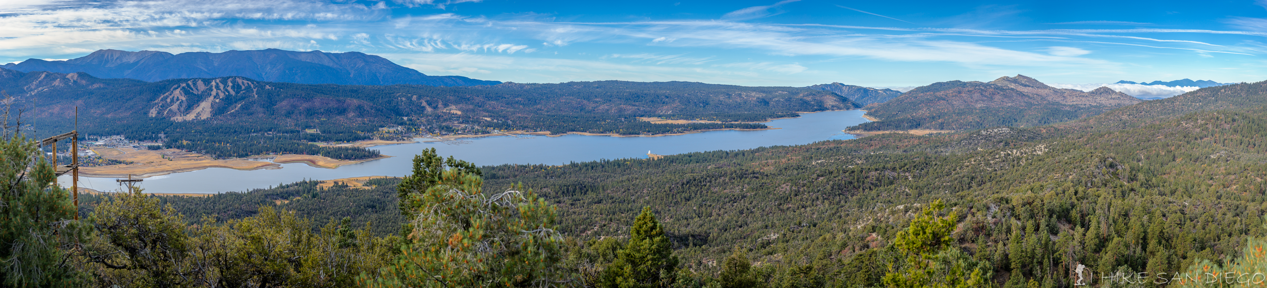
Big Bear Lake below. Snow Summit and Bear Mountain in the left side with San Gorgonio in the back ground, and off to the far right you can just make out the top of Mt Baldy.
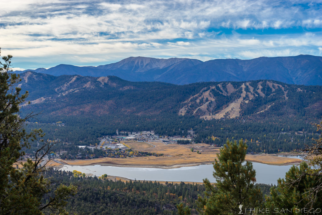
A better view of the ski slopes across the way with San Gorgonio in the background.