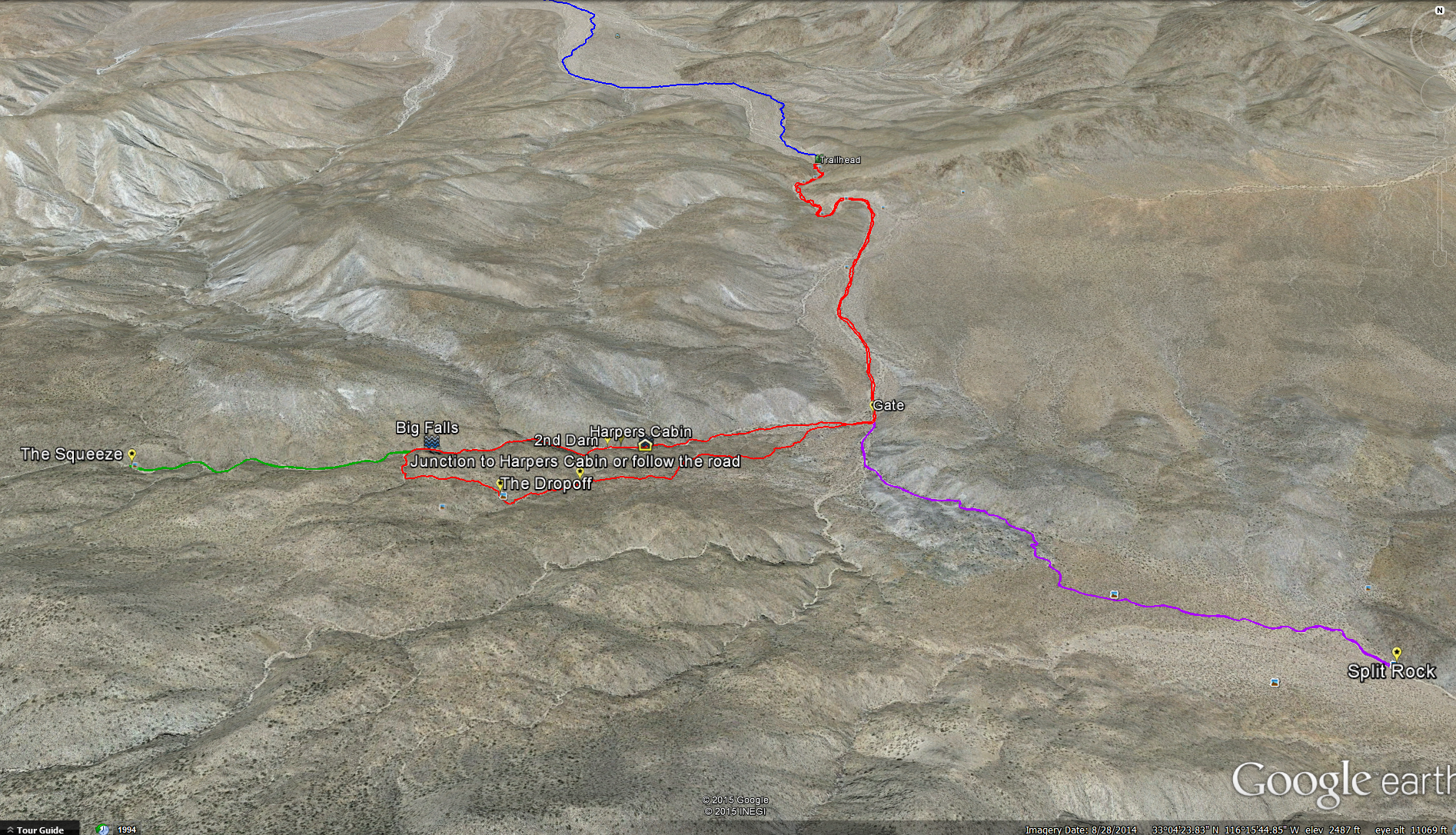
Distance: 7 miles if just going to the Cabin and Dams. 8 Miles you go to the “Squeeze” as well. 10.5 Miles if you add in a side trip to the Split Rock. Elevation Gained: 1462 Feet. Top Elevation : 3640 feet. Time : 3-5 Hours
Fees and Permits: None
To Get to the Trail head: Take the 78 out of Julian down the Banner Grade to Anza Borrego. Keep following Hwy 78 east. About 4.1 miles after passing the S3 ( Yaquri Pass Road) on your left hand side you will see the turn off onto Pinyon Wash Take the turn off and follow the dirt road up Pinyon Wash for 5 miles until you reach the trailhead.
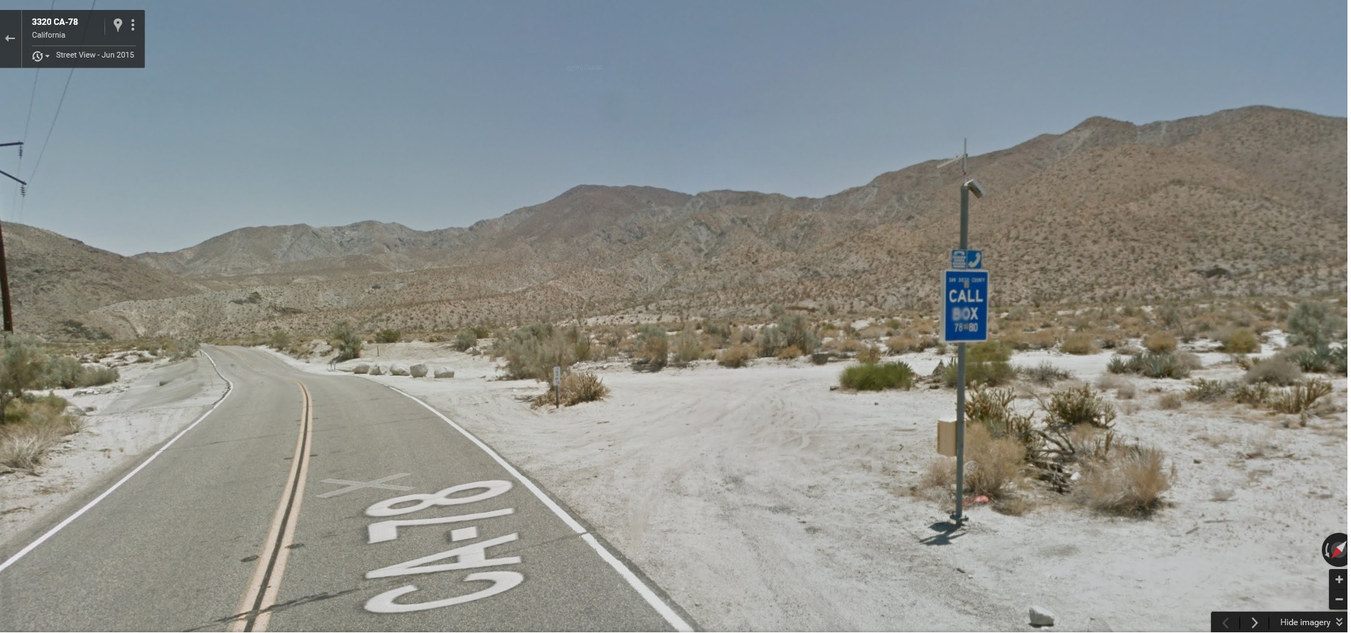
The Turn Off from Hwy 78 just 4.1 miles past the S3
The 5 Mile drive to the Trailhead is a little bit of a adventure in and of itself. You will want to make sure you are in a SUV or Truck. You won’t need 4 wheel drive but you will want something with high clearance and you will want to leave enough room between you and the car in front of you so that you don’t need to stop or slow down to much, sometimes you will hit some deep sand and you will want to keep your speed up to get through it. We took 3 cars out, a Xterra 4×4, a 4-runner 4×4, and a Lexus Suv, the Lexus got stuck at one point but they where able to get out of it pretty easily.
The Trail:
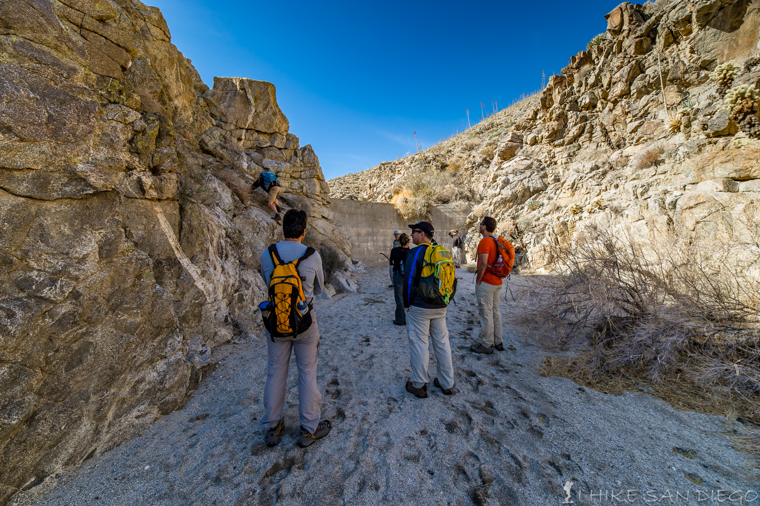
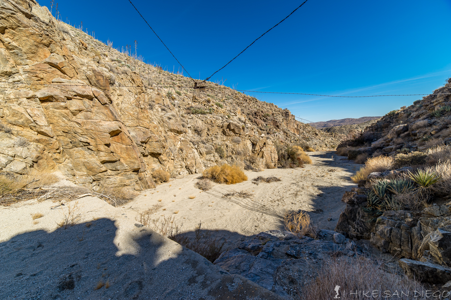
When you get to the end of the road (wash), you will come to a small round about in front of a group of rocks. Look for the trail leading off to the right and make your way up the first set of obstacles on this trail.
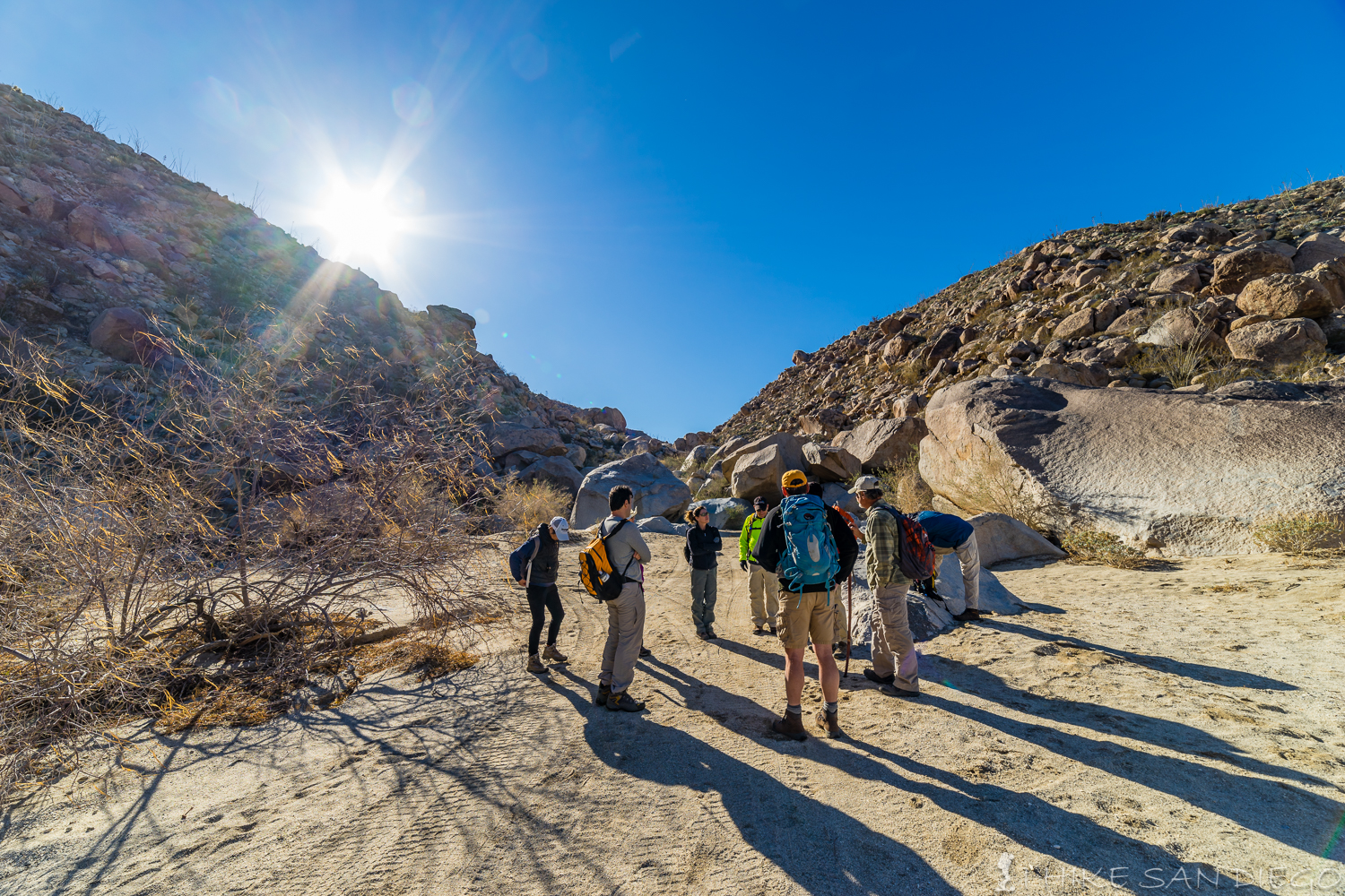
Trailhead, the trail starts towards the right and makes its way up and through the rocks towards the wash
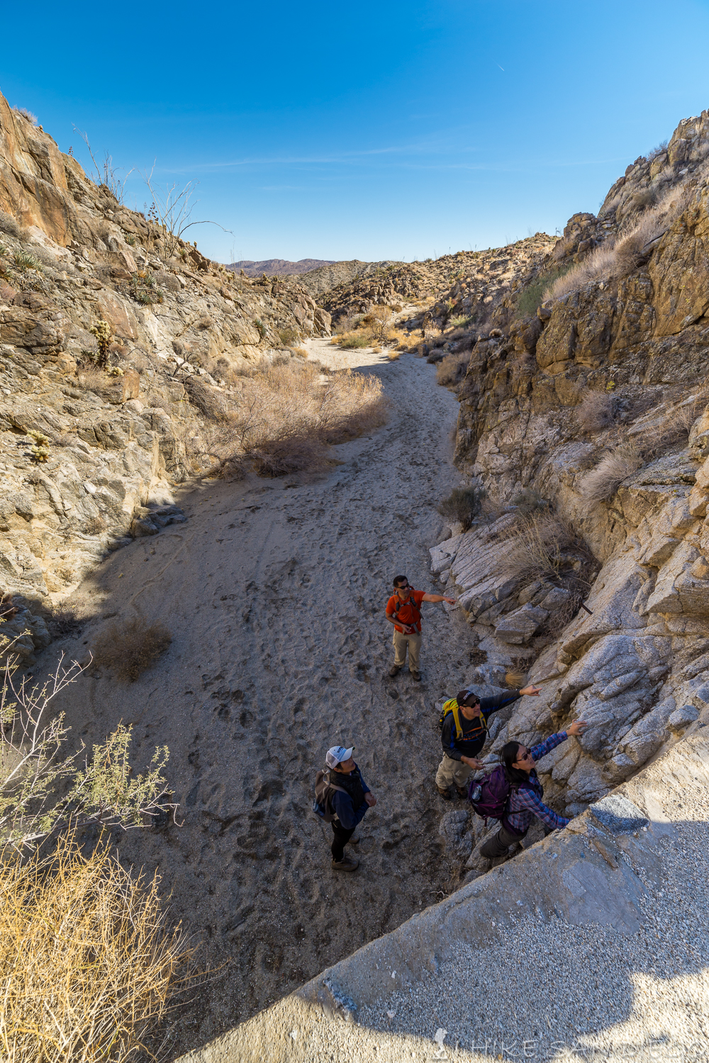
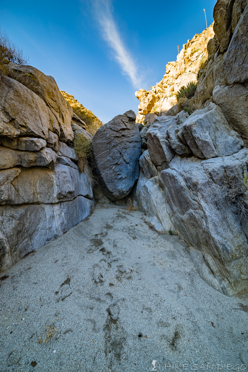
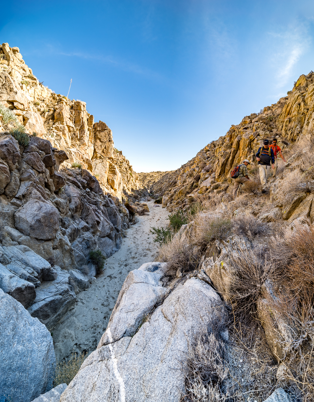
Once you make your way through the first set of rocks you will start walking along a wash, get used to being in the sand for a while, I found the sand to be the only tedious thing about this hike, I would rather be on rockier terrain. You will keep following the wash for about 8/10 of a mile before you come out onto the Harper Flat.
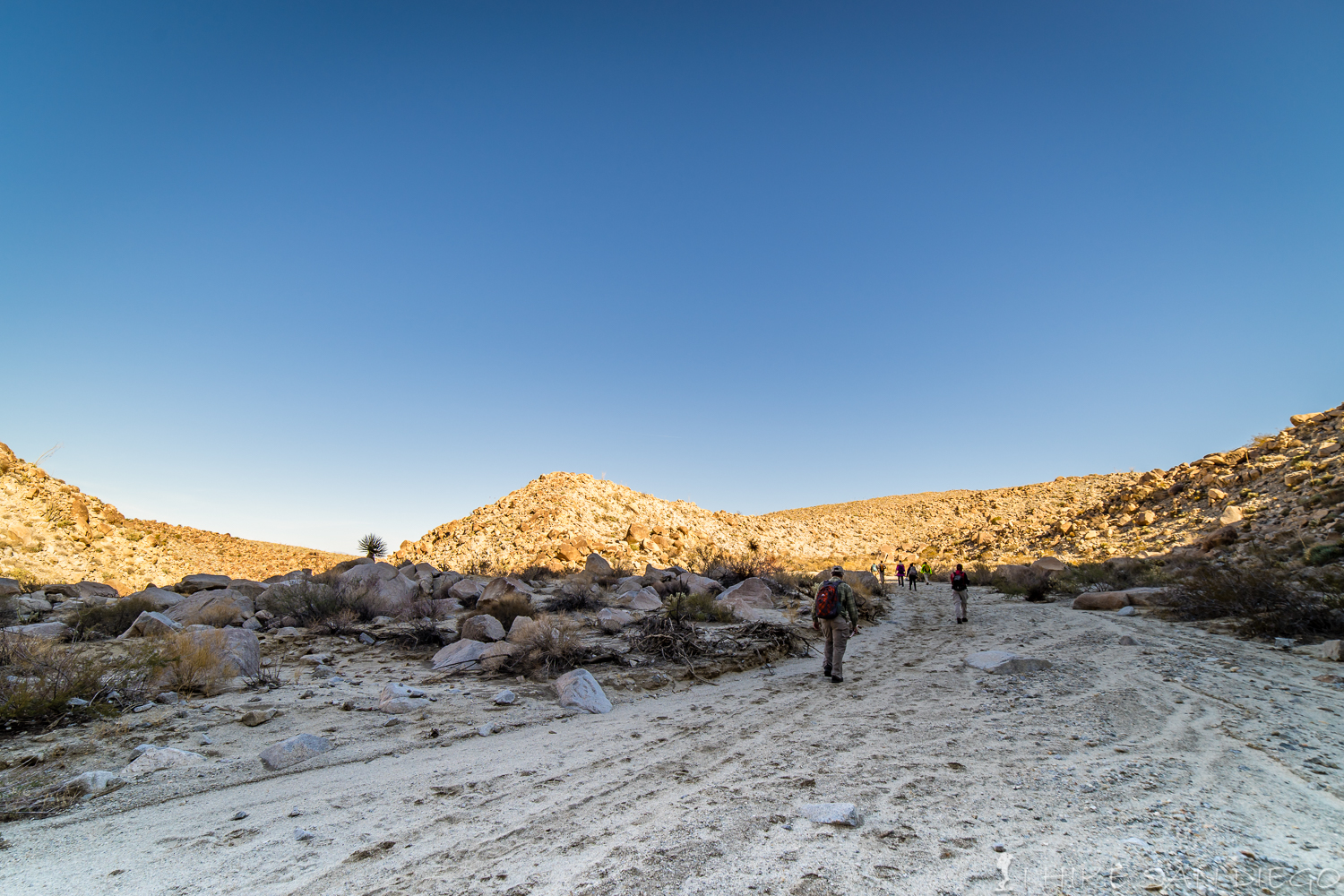
Making our way along the wash towards Harper Flat
As you come onto Harper Flat just keep hiking in the wash alongside the hills on the right-hand side. About 2.1 miles into the hike you will come across a fence stung across the wash between the hills. If you head towards the far leftside of the fence you should find a gate to cross through. The fence was put up to keep off-road drivers from entering the area you where just in.
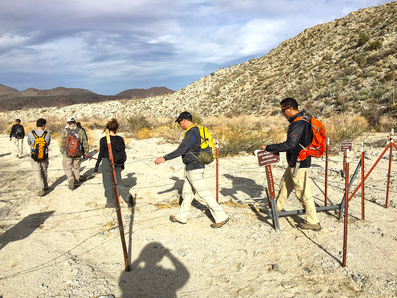
Going through the gate on our way back
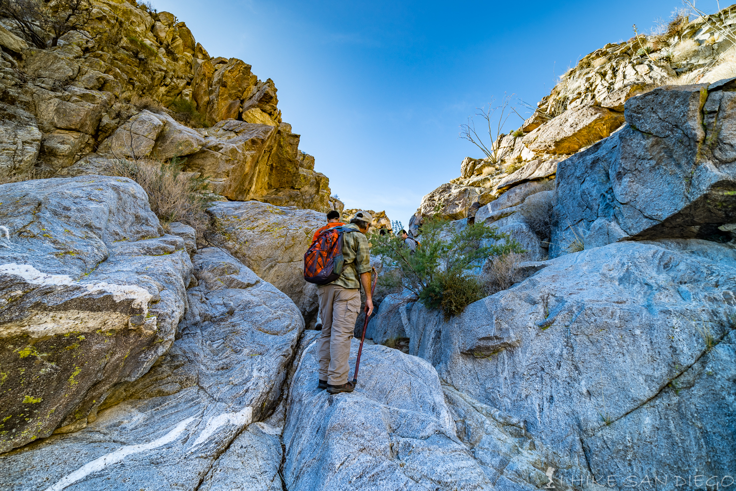
After making your way through the gate make your way along the fence towards the right ( west ) back into the wash and make your way up the wash for about another half of a mile until your are about 2.6 miles into the hike before you come across your first falls to climb ( this is where the fun begins) ignore the small roads and wash’s on your left hand side as you head up the wash towards the first waterfall.

scrabbling our way up the first small waterfall

Looking back from the top of the small first waterfall area.
Almost immediately after scrambling up the first small waterfall on this hike you will come across a wash on your left hand side (heading south), follow this wash for a short distance and you while come across the Harper Cabin or what remains of it on your right hand side (west side). The cabin was built by the Harper brothers in the 1920’s when they settled in the area to raise cattle. The brothers had tapped into a underground spring and had built the 2 dams that you will see along the trail to help control the water. Unfortunately the dams quickly filled up with sand and then their cattle contracted anthrax bringing an end to raising their cattle in the area. The cabin and dams and all that remains of their little outpost.
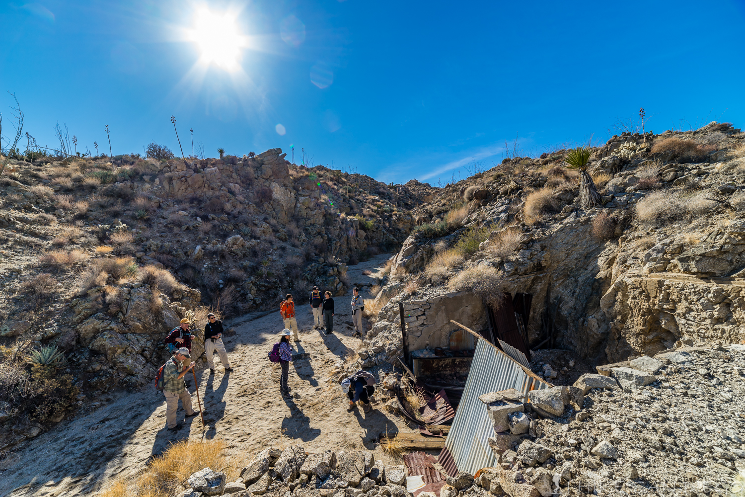
Harper Cabin
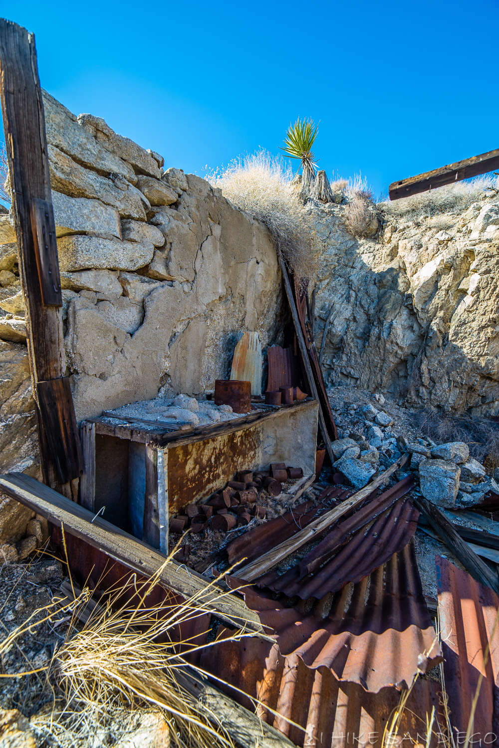
Kitchen area of Haper Cabin
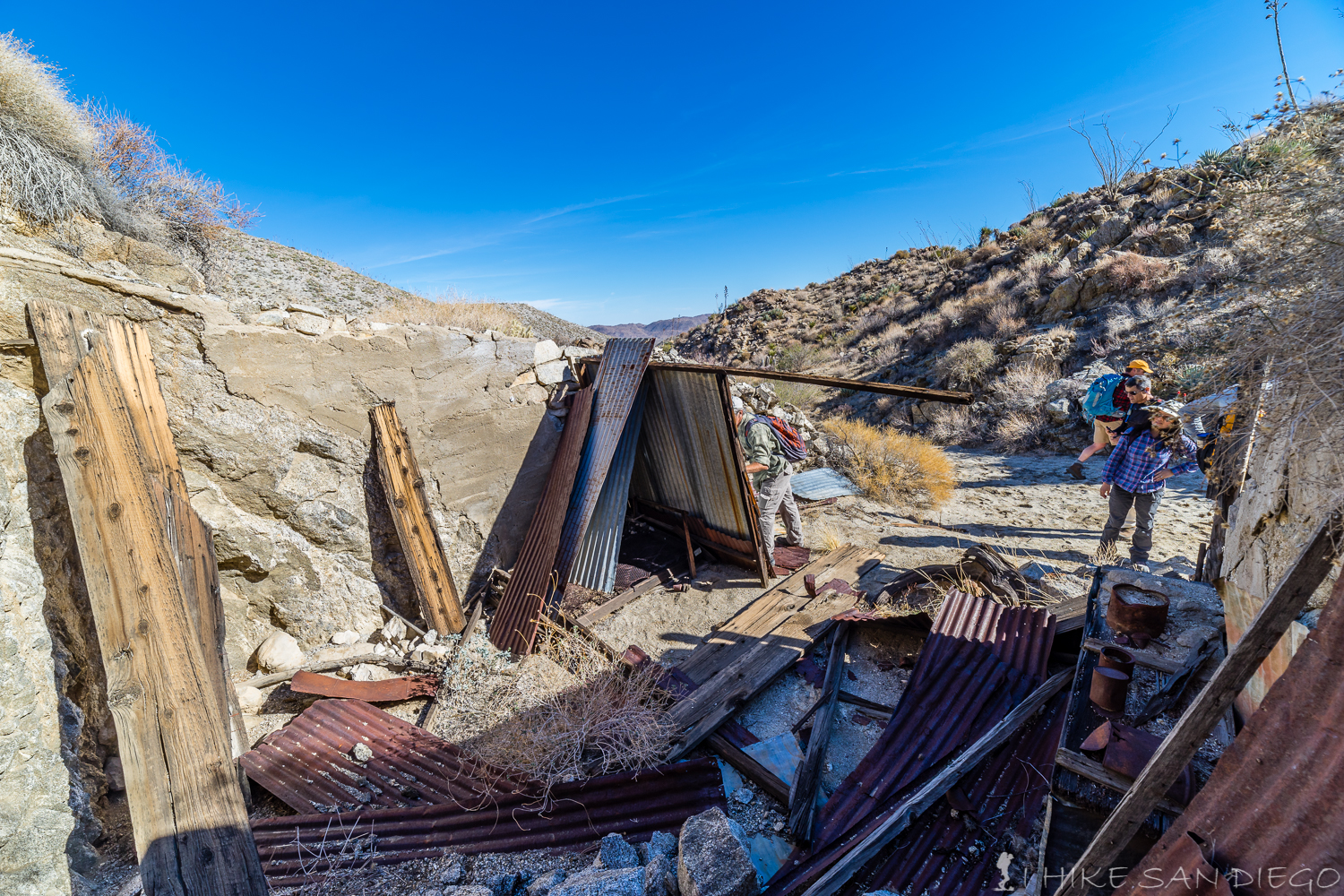
Looking inside out from Harper Cabin
After you have had enough of Harper Cabin head back out into the main wash you where hiking on and continue the hike, its only a short distance before you come to the first Dam. This dam is about 10 feet tall and not to hard to get around, I found the best way to be right between the rocks and the dam on the left hand side.
One of our hiking group finding his way up and around the dam
I found the crevice right between the rock wall and the far left side of the dam to be easier to get up and over the dam
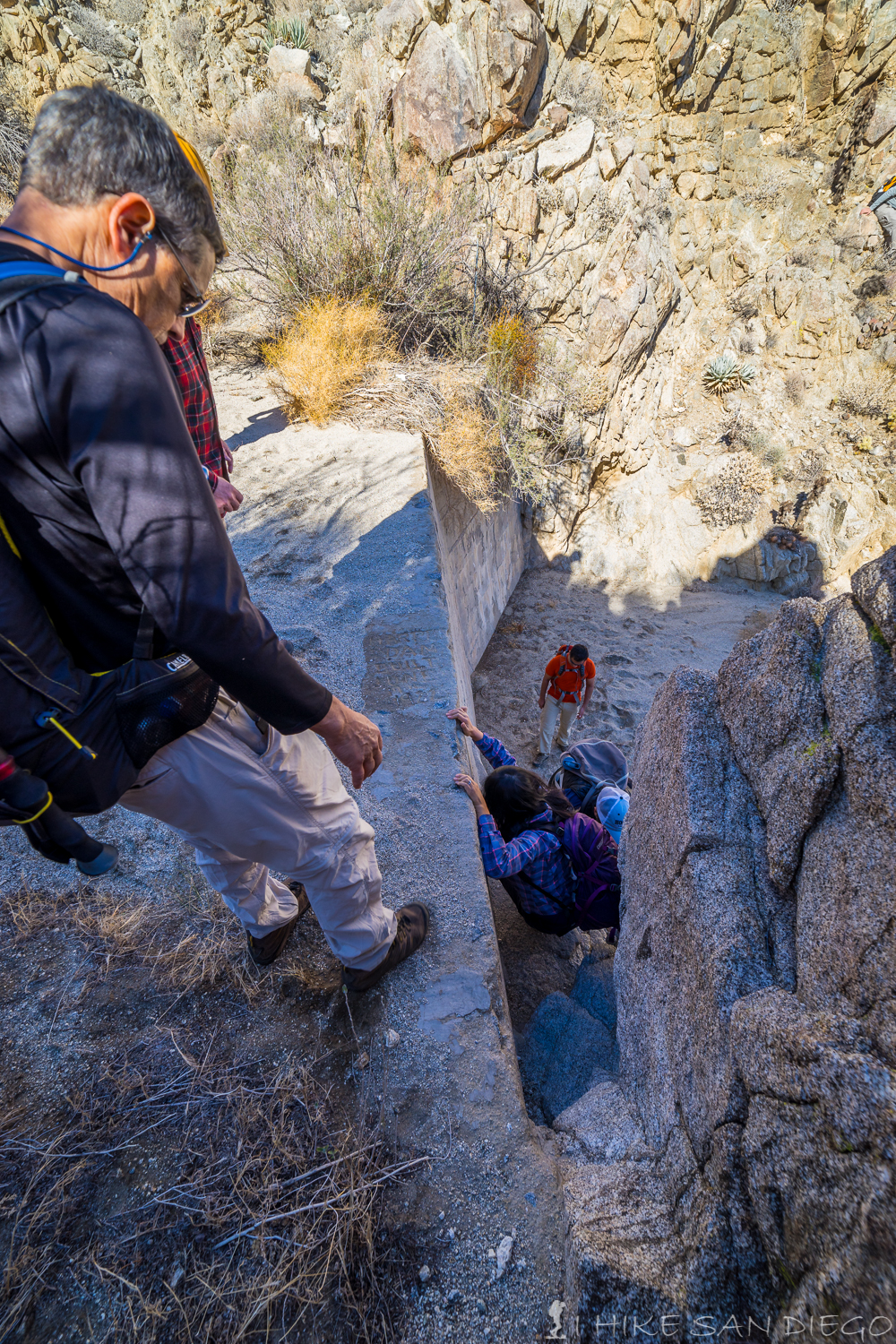
Members of our hiking group coming up the crevice on the 1st Harper Dam
Not to long after coming up and over the first Harper Dam you will come across the 2nd much smaller dam. There is a weird crossing of wire above this dam area. No one seams to have any idea of what purpose this crossing of wire served.
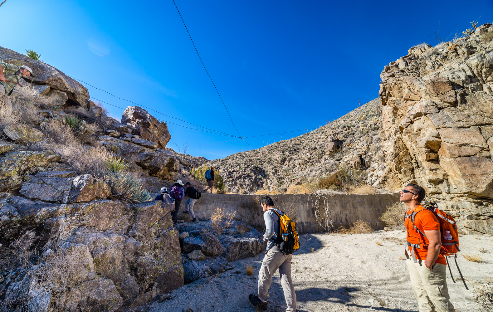
Heading up and over the 2nd Harper Dam
The weird cables over the 2nd Harper Dam
After crossing the 2nd Harper Dam continue to make your way along the wash. About 2/10 of a mile or about 2.9 miles into the hike you should come across a series of waterfalls. The first one being a large rock that fell and blocked the wash some time ago that you will need to make your way up and over. I found the easier way for me was to climb up the right side of this rock area although most of our group headed up the left side of this area.
Large rock blocking the wash, head up and around the left or right side of the rock

Looking back from the rock blocking the wash as the rest of the group heads up the left side of the canyon wall

Another member of the hiking group making his way up and over on the right side of the large rock blocking the wash
Part of the hiking group making its way up the left side of the canyon wall to get past the large rock blocking the wash
Shortly after making your way up and over the large rock blocking your way you will come across to waterfalls, the first being the larger and the 2nd being the smaller one.
Time for some more climbing. 1st waterfall area after large rock
2nd waterfall area after the large rock
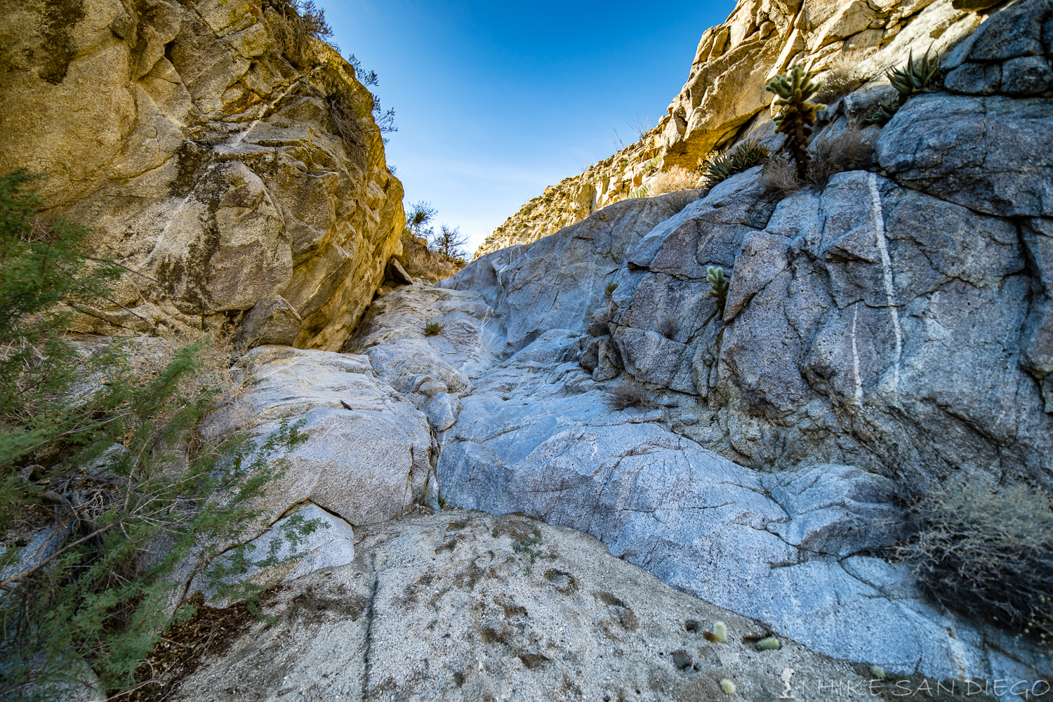
After you make your way up these two waterfalls you will continue on hiking through the wash and canyon for about another 2/10 of a mile before you come to the monster waterfall. This rock area is steep and I would not recommend doing this hike if its raining at all. These rocks are slippery enough on their own, I can’t imagine trying to get up these rocks when they are slick with water. With that in mind make your way up the last long waterfall, you may need to help each other at certain points on your way up.
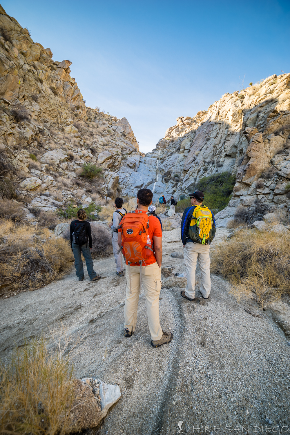
Looking at the monster waterfall area at the end of the canyon

The group making its way up the last large waterfall at the end of the canyon
After making your way up that last waterfall you will come out of the wash and canyon and onto a dirt road. Here you have a choice, you can head left and make your way back along the road towards the trail head or you can make a short side trip of just over a mile round trip to the area that the off-roaders call the “Squeeze”. An extra mile is not that far and its easy hiking. Just be aware that this is a road and you may come across some jeeps coming down this way. We were not lucky enough to catch a jeep at the Squeeze, but we did come across a jeep making its way through another tight spot on the way back.

Showing how tight the squeeze is, with his arms outstretched he can almost touch either side
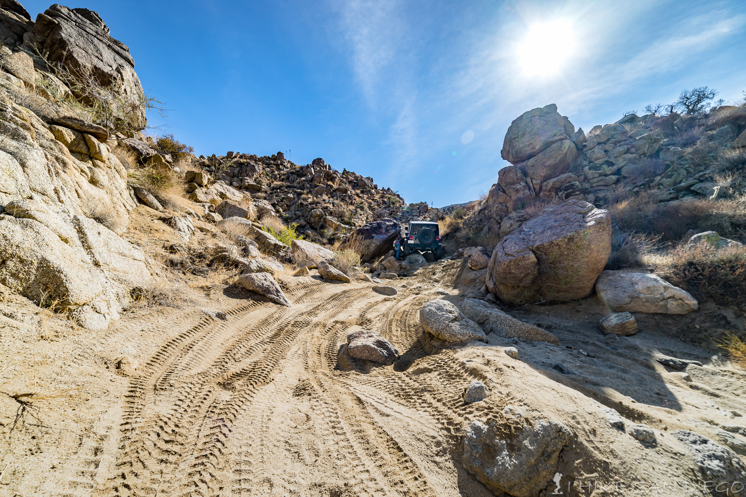
coming across a jeep in a tight spot on the way back along the dirt road
At the junction between the wash and the road you will head left ( south and then east ) as you make your way back along the road for about 3/10 of a mile or about 3.45 miles into the hiking loop before you hit the last obstacle, a really steep hill that was nick named “the drop”, just imagine trying to drive a jeep down this thing as you hike down it.

At the bottom of “The Drop” and heading back along the road
After you get down to the bottom of “The Drop”, keep following the road back towards the gate. You have a couple of choices here, about 2/10 of a mile after “The Drop” there is a wash on your left hand side, if you follow it you will end up back at the Harper Cabin. If you continue on the road you will reach the gate in about 1 mile. If you want one last adventure before you head back towards your car there is another wash to your right just before you reach the gate ( look on the map above) if you follow it you can take about a 3 mile round trip excursion to “Split Rock”. Split Rock is a old Indian campsite where you can find pictographs on the boulder as well as petroglyphs. We were going to head out there and check this out but were not quite sure where it was and most of the hikers I was with where tired and ready to call it a day. Next time I head out there I’ll add some pictures of the area.
At the gate just head through and get back on the wash that you came up, it should be just about 2 miles back to the trail-head and the end of your adventure.
[forecast location="92004" caption="Weather for Harper Cabin & Dams Hike measurement='F' todaylabel="Today" datelabel="(%%weekday%%)"highlow='%%high%%°/%%low%%°' numdays="5" iconset="Contemporary" cache="true" width="100%"]


